- Camp Type: Wilderness Trail Camp
- Topo Map Link: Lopez Mountain
- Elevation: 1750 feet
- Wilderness Area: Santa Lucia
- County: San Luis Obispo County
- Ranger District: Santa Lucia Ranger District
- Longitude: -120.5540802
- Latitude: 35.2947791
- Water Sources: Year round water found along Lopez Canyon
- Length of Stay: 14 Days
- Reservations: Wilderness Trail Camp
Recent Water Reports:
| Date |
Surveyor |
Water Report |
| 11-13-2023 | Anonymous Surveyor | Flowing |
| 04-07-2023 | Greg | Flowing |
| 11-25-2022 | Matt | Flowing |
| 04-17-2021 | Anonymous Surveyor | Flowing |
| 11-14-2020 | Anonymous Surveyor | Flowing |
| 03-07-2018 | Mike Maki | Flowing |
| 02-24-2018 | Mike Smith | Flowing |
| 04-30-2017 | Matt Inman-Ojai Valley School | Flowing |
| 06-17-2016 | Green Machine (aka Perry Way) | Flowing |
| 05-23-2015 | Seth Hutchinson | Flowing |
| 04-22-2015 | Anonymous Surveyor | Dry |
| 04-19-2015 | Jeaninne Little | Flowing |
| 02-21-2015 | Curt Cragg | Flowing |
Submitted Camp Reports
 Sulphur Pot Camp Survey - 11-13-2023 - by Anonymous Surveyor
| Link: | Sulphur Pot Camp |
| Date: | 11-13-2023 |
| Surveyor Name: | Anonymous Surveyor |
| Camp Description: | Just wanted to use this site to inform what everyone (including myself) should('ve) know. This trail is not maintained from the end of lopez canyon road until you begin the switchback ascent from the creek to trailhead on the east ridge road.
As of today I would not take this trail without some trial clearing tools. Personally I would take a machete, bow saw/ folding saw, hatchet and (loppers if more than one person).
Multiple felled trees blocking / obscuring the trail. Multiple washouts. It took me significantly longer than anticipated. This is definitely not a day hike unless you have pick up / drop off at either end (big falls / Cuesta grade east road access.)
Other than the dismal quality of the trail making it dangerous in some spots and extremely frustrating at others i thought it very nice and would overnight out here any time.
|
| Water Source: | Flowing |
| Water Source Details: | very nice |
| Weather Conditions: | awsome |
 Sulphur Pot Camp Survey - 04-07-2023 - by Greg
| Link: | Sulphur Pot Camp |
| Date: | 04-07-2023 |
| Surveyor Name: | Greg |
| Camp Description: | Hiked in from Rinconada to overnight at Sulphur Pots and hike out on East Cuesta Ridge. Extremely difficult trail due to multiple downed trees and creek flowing at waist level in some spots. The last mile to Sulphur Pots took almost 4 hours in the dark. For the most part, there was no trail. Lots of poison oak and large downed oaks. Upper Lopez was in similar condition. |
| Water Source: | Flowing |
| Water Source Details: | |
| Weather Conditions: | |
 Sulphur Pot Camp Survey - 11-25-2022 - by Matt
| Link: | Sulphur Pot Camp |
| Date: | 11-25-2022 |
| Surveyor Name: | Matt |
| Camp Description: | Sulphur Pots is a cool structure. But it's not the kind of place I'd want to stay. The latrine was knocked over & smelled pretty bad. Cat holes are definitely the way to go but the camp is so brushed in with poison oak that finding a private spot would be a challenge for sure. There was some trash left by previous campers. I picked up a couple things but I was already packing out about 90-lb so I couldn't take much more than a few wrappers. Camping-wise, I think it's best to continue on or just find a more clear, flat location nearby to make camp. I love having a picnic bench but it's just not worth it for the lack of a good spot to take care of business. Bears are around so definitely carry a canister or hang food well with a counterbalance method. In my 5-6 years of camping down there in the fall, the bears have never bothered me in camp. But I try to keep a clean camp so there won't be much of a reason for them to hang out nearby. But I see them all the time outside of camp & appreciate the experience. |
| Water Source: | Flowing |
| Water Source Details: | Ankle deep in most places. Plenty for filtering & even a rinse bath in some places. |
| Weather Conditions: | cool but not cold -- mid 60's midday & lows in the low 50s. VERY humid on the floor of the canyon so it can feel colder than it is. |
 Sulphur Pot Camp Survey - 04-17-2021 - by Anonymous Surveyor
| Link: | Sulphur Pot Camp |
| Date: | 04-17-2021 |
| Surveyor Name: | Anonymous Surveyor |
| Camp Description: | Hikes from the top of the grade to Lopez Lake via Lopez Canyon. We spent the night at the Sulphur Pots Campground.
There was a flowing creek next to the campground. There were tons of Salamanders everywhere!
The trail has lots of poison oak and sections with loose rock and steep drop-offs. Luckily, someone had tagged the creek crossings, which made navigation easier. |
| Water Source: | Flowing |
| Water Source Details: | |
| Weather Conditions: | |
| Images: |
|
 Sulphur Pot Camp Survey - 11-14-2020 - by Anonymous Surveyor
| Link: | Sulphur Pot Camp |
| Date: | 11-14-2020 |
| Surveyor Name: | Anonymous Surveyor |
| Camp Description: | Backpacked in from the 101. Trial degrades the further south you go. Many fallen trees and a few landslides that require off trail workarounds. Trial mostly lost from Upper Lopez camp to Sulphur Pots camp due to thick overgrowth. Poison oak is unavoidable in sections and extremely thick. No trash found on trial. Camp was clean and felt like it had not been used in some time. |
| Water Source: | Flowing |
| Water Source Details: | Good flow rate. Less than a foot deep in most sections. Appeared to be good quality as it was clear and moving at a good rate. |
| Weather Conditions: | Weather: clear skies with unknown cold (above freezing) overnight temperature |
 Sulphur Pot Camp Survey - 03-07-2018 - by Mike Maki
| Link: | Sulphur Pot Camp |
| Date: | 03-07-2018 |
| Surveyor Name: | Mike Maki |
| Camp Description: | Just passed by this camp as part of section hike of Condor Trail. Plenty of water in the creek. Crossing are wet especially if coming from the east. Lots of poison oak encroaching on trail but trail easy to follow. Some large down oaks on the climb in and out from Mt Lowe. Wish I had the space to carry out all the beer cans in the fire pit! |
| Water Source: | Flowing |
| Water Source Details: | |
| Weather Conditions: | Nice! |
| Images: |  Camp Sign  Trash in fire pit
 Nonfunctioning outhouse |
 Sulphur Pot Camp Survey - 02-24-2018 - by Mike Smith
| Link: | Sulphur Pot Camp |
| Date: | 02-24-2018 |
| Surveyor Name: | Mike Smith |
| Camp Description: | Made it about 2.75 miles from the Big Falls trail head. Trail then became impassable. We had no machetes so we turned back, Up until then. the trail was in great shape. Bring extra socks due to the numerous water crossings. |
| Water Source: | Flowing |
| Water Source Details: | Depth varies, but good flow |
| Weather Conditions: | Clear and very cool |
 Sulphur Pot Camp Survey - 04-30-2017 - by Matt Inman-Ojai Valley School
| Link: | Sulphur Pot Camp |
| Date: | 04-30-2017 |
| Surveyor Name: | Matt Inman-Ojai Valley School |
| Camp Description: | Really nice camp. Plenty of space. Water looks like it will be reliable for quite a long time. Trail between Upper Lopez and Sulfur Pots is fully overgrown with poison oak. |
| Water Source: | Flowing |
| Water Source Details: | Great water at Sulfur Pots. Flowing strong and clear. "Sulfur Pots" were at least knee deep. |
| Weather Conditions: | |
 Sulphur Pot Camp Survey - 06-17-2016 - by Green Machine (aka Perry Way)
| Link: | Sulphur Pot Camp |
| Date: | 06-17-2016 |
| Surveyor Name: | Green Machine (aka Perry Way) |
| Camp Description: | Was with my buddy on overnighter starting at Rinconada Trailhead and ending at East Cuesta Trailhead (shuttle trip). We previously attempted getting to Sulphur Pots twice, once from the south and once from the north. Both times we had to turn back due to excessive vegetation and poison oak. First time we tried was from north, starting at East Cuesta and going down into upper Lopez Canyon. We made it only a wee bit further than Upper Lopez camp on that trip. Next trip we started from Rinconada and went down Big Falls to Lopez canyon and got as far as we could before it was a complete jungle. This last trip we brought our pruners and spent about half of the day pruning vegetation including poison oak. We have carved tunnels through the vegetation and thoroughly removed any poison oak above mid-thigh or waist level. You will still need long pants and gaiters are recommended to keep PO off shoelaces. Ground cover PO is ubiquitous but bush PO is seriously trimmed back to allow a wide girth passage.
Water levels flowing at a very good rate still! |
| Water Source: | Flowing |
| Water Source Details: | flowing nicely, lots of water |
| Weather Conditions: | cooler days on canyon floor and stars at night |
| Images: |  clearing vegetation  proof we got to the camp :)
 sulphur pots flowing nicely  as seen from Lopez Canyon trail
 many signs of bears nearby. Be careful! |
 Sulphur Pot Camp Survey - 05-23-2015 - by Seth Hutchinson
| Link: | Sulphur Pot Camp |
| Date: | 05-23-2015 |
| Surveyor Name: | Seth Hutchinson |
| Camp Description: | camp was in good shape. lots of poison oak around the camp. super good time and very pretty but be prepared for the poison oak it covers the trail shoulder high at some points.Â
|
| Water Source: | Flowing |
| Water Source Details: | about a foot deep, good quality and flowing well below the camp |
| Weather Conditions: | 70s daytime mid 40s at night |
 Sulphur Pot Camp Survey - 04-22-2015 - by Anonymous Surveyor
| Link: | Sulphur Pot Camp |
| Date: | 04-22-2015 |
| Surveyor Name: | Anonymous Surveyor |
| Camp Description: | Note I was not able to complete this hike, I just want to save others the time.Â
I planned a trip to backpack on this trail and it turned out to not work.  First if you enter from the northwest, you have to hike in an extra 4 miles due to closed gate.  I planned to drive in on the south east due to ranger recommendation.  I was not able to make it due to running water (Yes water in CA ruined my trip LOL ) crossing the road.  I later learned that there were several river crossings.  So if you plan to take this hike from the High Lopez road then be ready to have a high clearance 4x4 vehicle. |
| Water Source: | Dry |
| Water Source Details: | unknown |
| Weather Conditions: | |
 Sulphur Pot Camp Survey - 04-19-2015 - by Jeaninne Little
| Link: | Sulphur Pot Camp |
| Date: | 04-19-2015 |
| Surveyor Name: | Jeaninne Little |
| Camp Description: | this is a great creekside campground. had a hard time finding direcrions online, so i had to resort to my map. it is a few miles on the Upper Lopez Trail starting from the Big Falls trailhead. the road past this is blocked off, so juat paek and walk from there. trail was in pretty rough condition but we were able to cut back some plants and poison oak that covered the trail. camp is in good condition. (someine should take a toilet seat out there) has a picnic bench and fire ring. was definitely worth the hike. |
| Water Source: | Flowing |
| Water Source Details: | creek is flowing |
| Weather Conditions: | 75 day/ less than 40 at night. clear skies. |
| Images: | 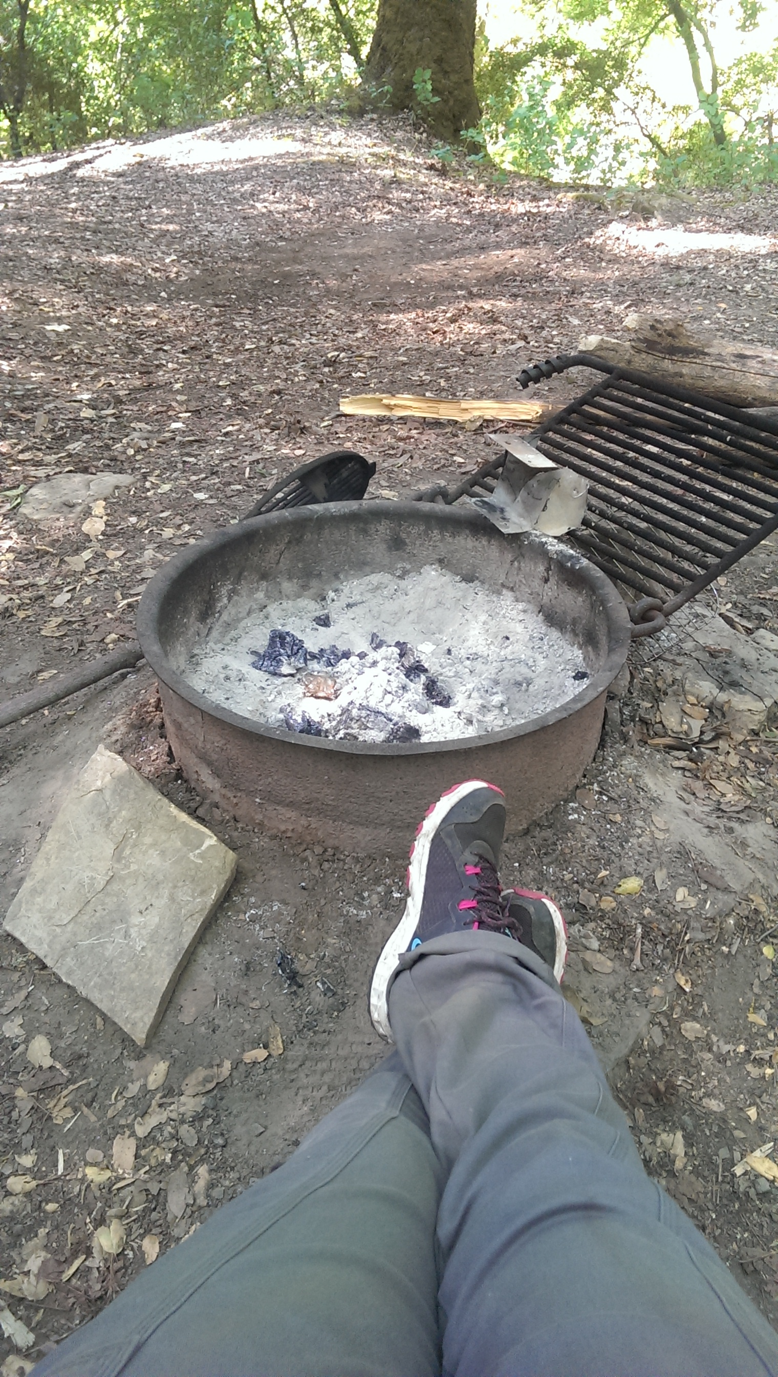 fire ring 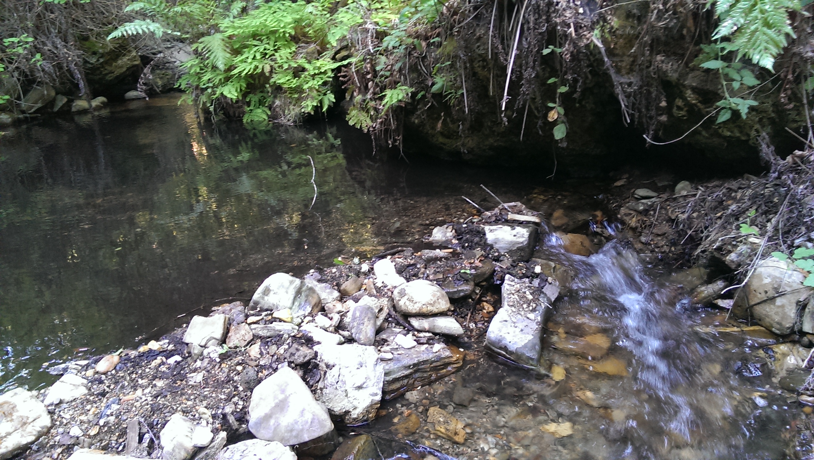 creek below camp
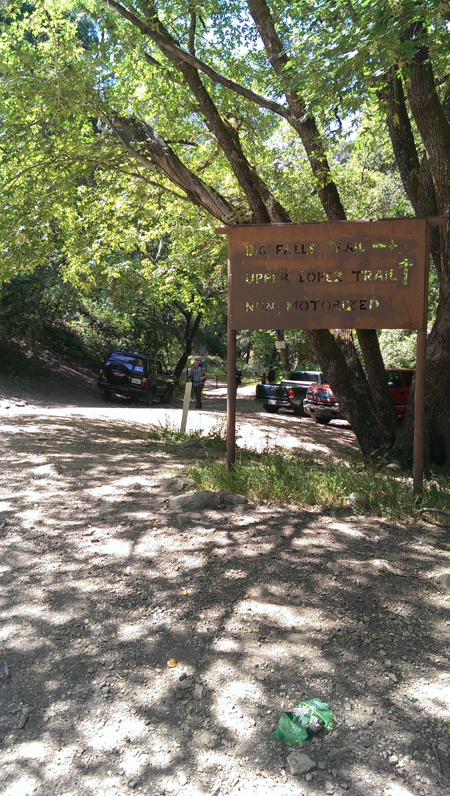 Trailhead 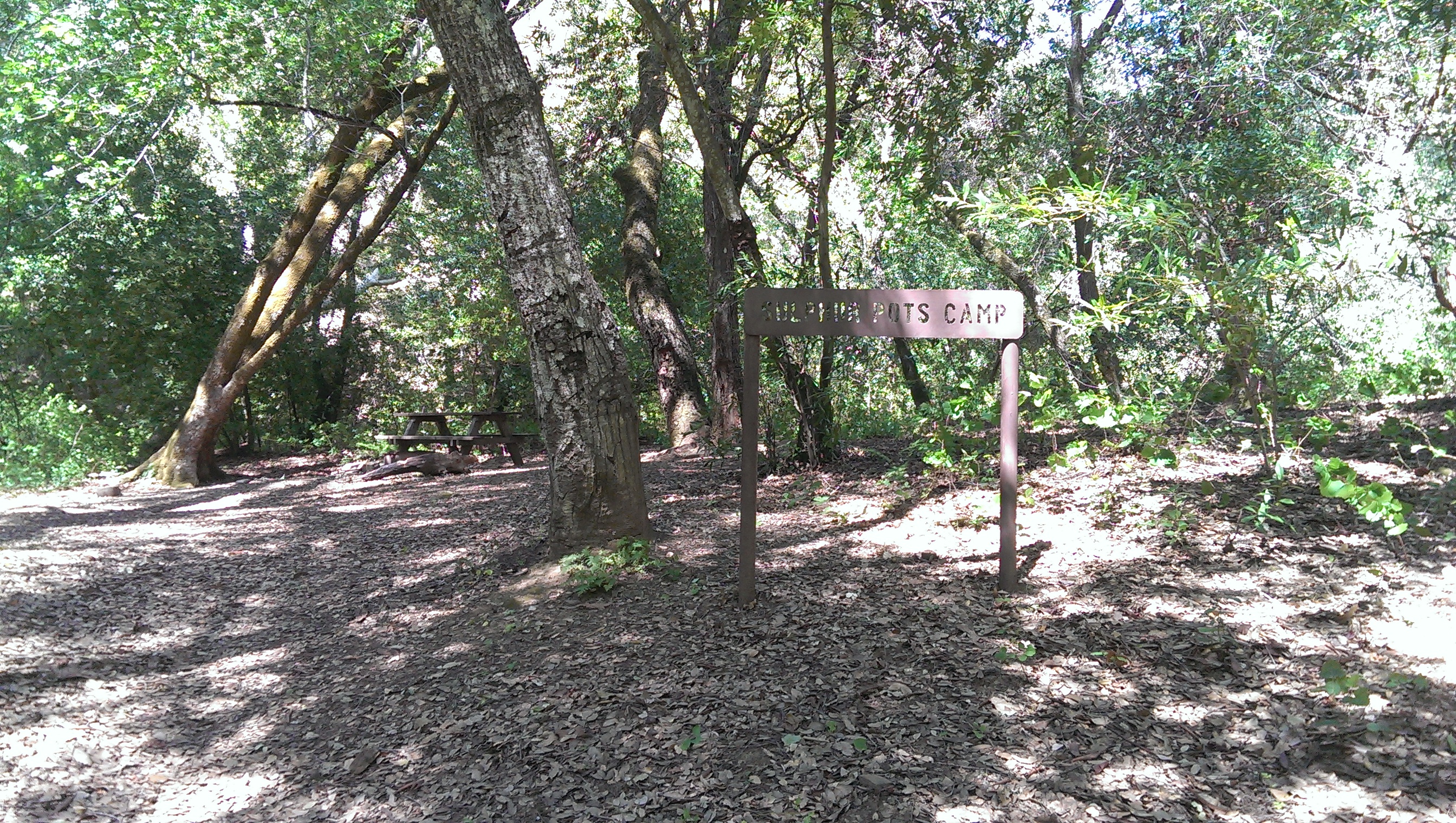 camp sign
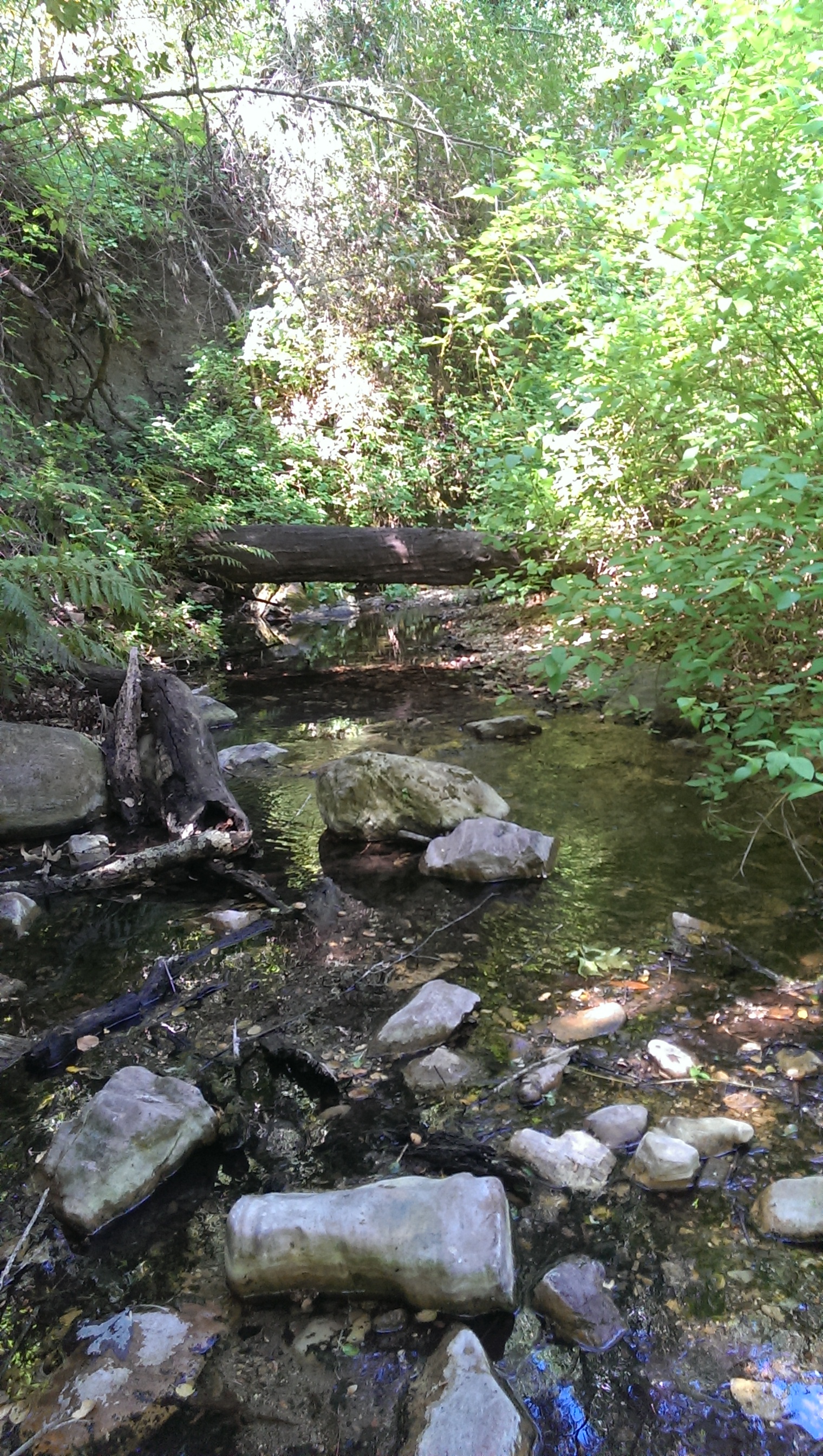 creek |
 Sulphur Pot Camp Survey - 02-21-2015 - by Curt Cragg
| Link: | Sulphur Pot Camp |
| Date: | 02-21-2015 |
| Surveyor Name: | Curt Cragg |
| Camp Description: | This is a very nice camp in Lopez Canyon with a picnic table, several tent spots and some beautiful pools that look they would be worth soaking in on a hot day. Â Unfortunately a bear appears to have done a number on the toilet surrond and some careless campers have added to the misery, so you'll have to dig a hole, but that's no reason not to camp here. |
| Water Source: | Flowing |
| Water Source Details: | Excellent water flowing below the camp |
| Weather Conditions: | Partially cloudy, high 60's during the day |
| Images: | 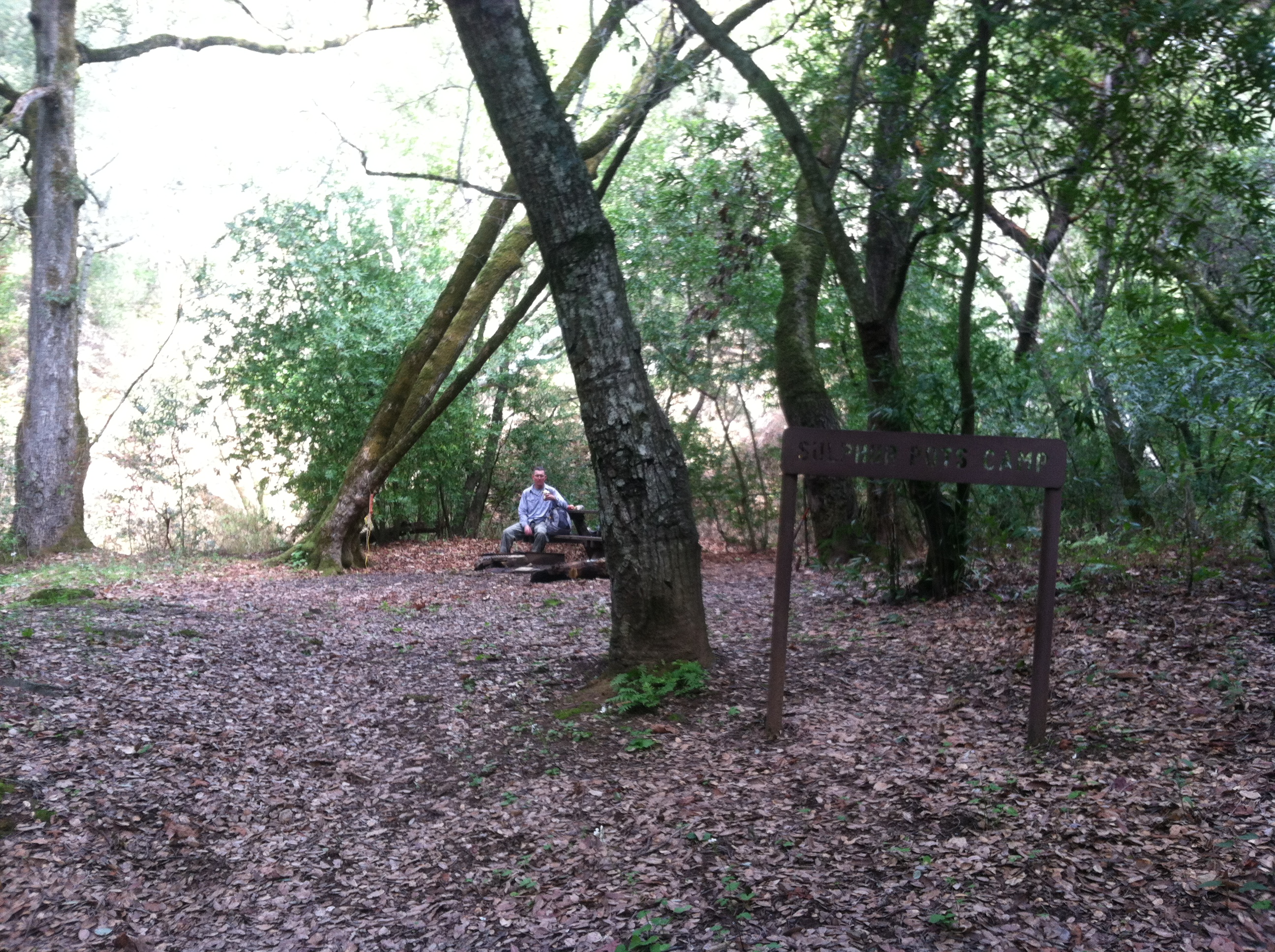 Camp overview 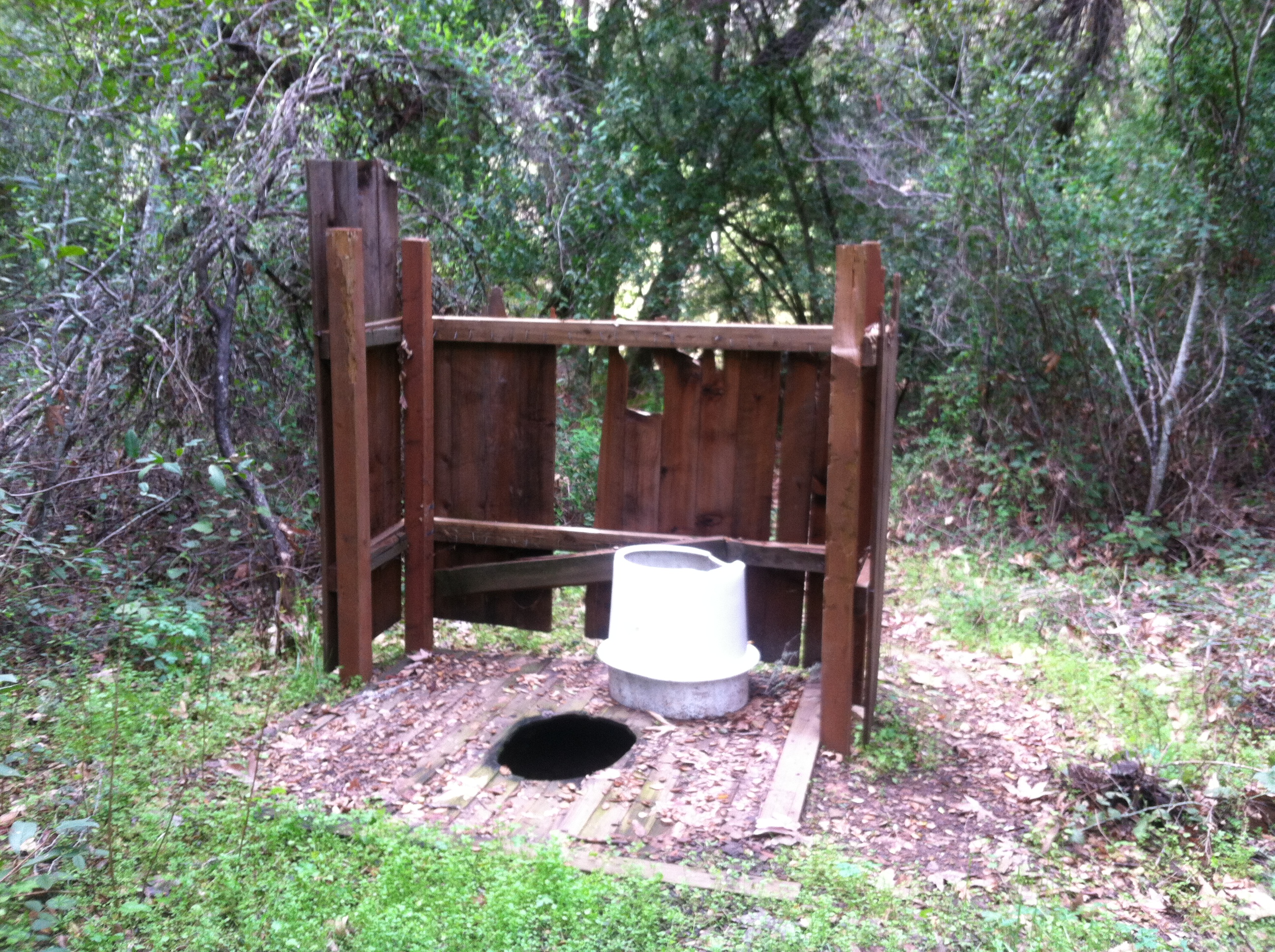 Busted toilet and enclosure
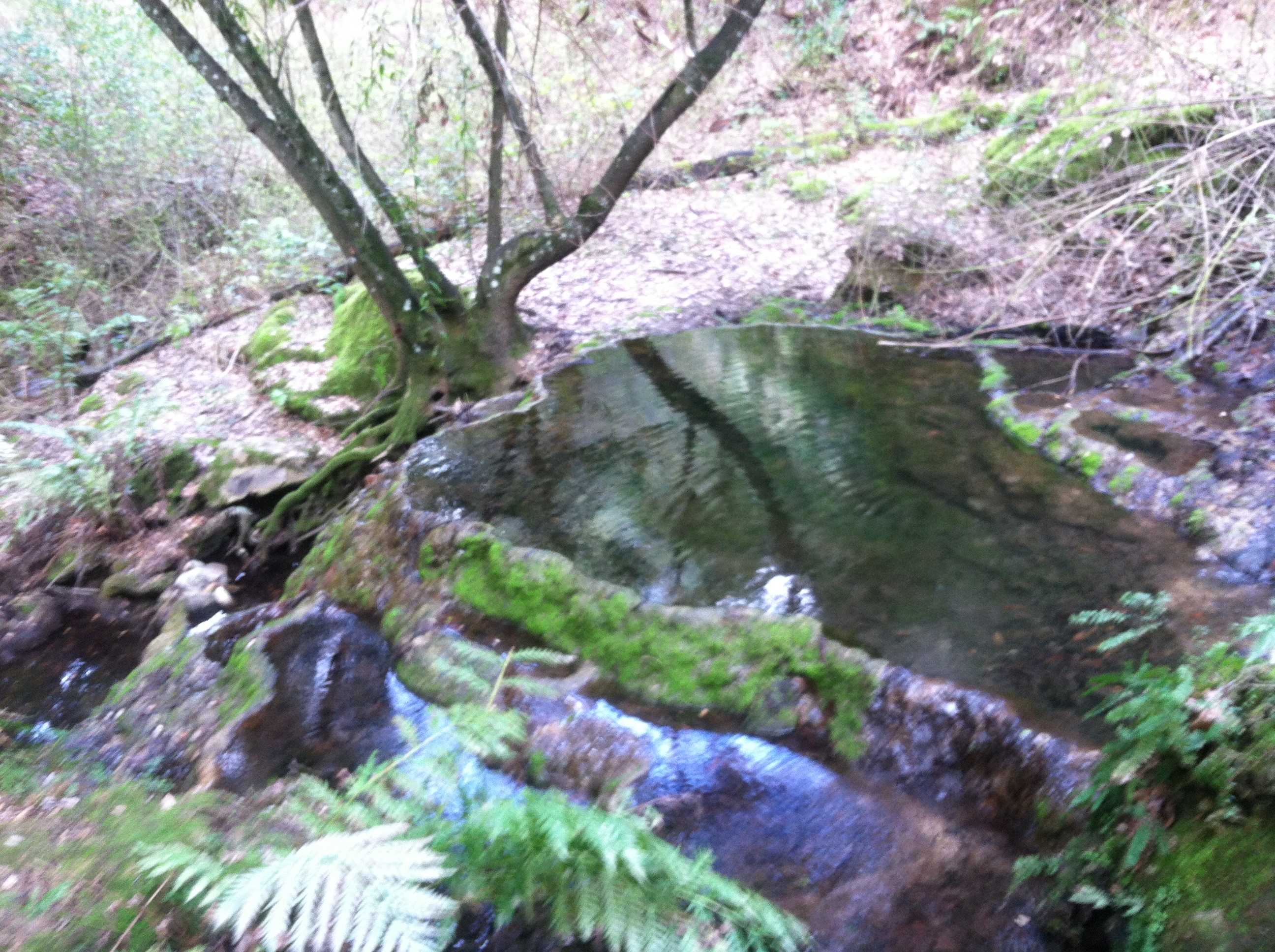 "Sulpher Pot" for a soak (not a hot spring though) |
Leave A Camp Report
-
 Survey / Report Form
Last Updated: Monday, January 4, 2016


