Use Marker Groups
 Wolf 2002
Piru 2003
Day 2006
Zaca 2007
Gap 2008
La Brea 2009



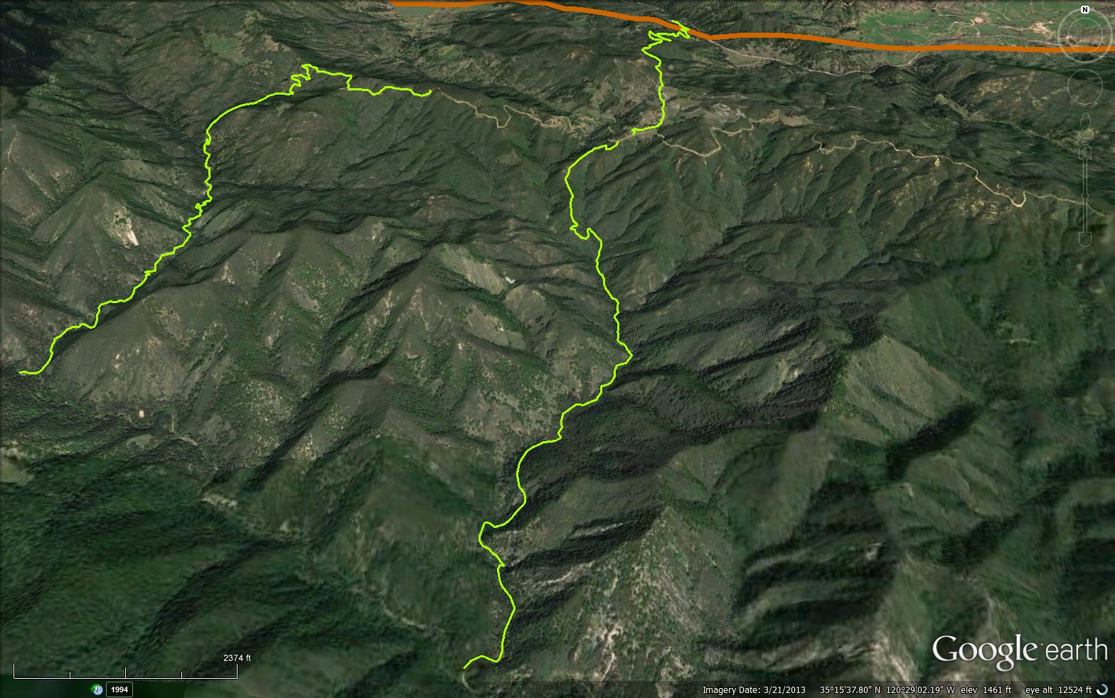
The Little Falls Trail is a senic 2.81 mile trail in the Santa Lucia Wilderness in San Luis Obispo County . The trail head is located off Upper Lopez Canyon Road at 35.24618, -120.48839. The trail follows little falls creek to the junction with Big Falls Trail (14E02).


 Little Falls Trail Survey - 09-06-2026 - by @jungleperry
| Link: | Little Falls Trail |
| Date: | 09-06-2026 |
| Surveyor Name: | @jungleperry |
| Trail description: | I left my tools in my car. But had I known the trail was in such a poor condition I would have brought my loppers, a saw, and my pruners. And not set about to do the whole Little Falls, Big Falls loop from Rinconada trailhead, but down to the Upper Lopez Creek and turn around, there and back. I think 4 people would make the job doable basically in one day, but it's very difficult to traverse in its current state, and just one person (me, possibly) could not do all of that in one day. Some of the erosion is scary severe vertical taking half of the trail tread with it. Those kind of situations take more people and someone would be bringing a hoe or a shovel and another person would be bringing a pick. I had a new hiking partner with me and didn't want her to feel overwhelmed and also I didn't want to feel overwhelmed as well, so I suggested we cancel the Little Falls Big Falls loop trip and do another loop instead. Turned around went back. I think we had done a mile and a little over 1000 feet elevation in the heat. |
| Mode of transport: | Hike |
| Trail condition: | Hard to follow |
| Condition details: | Poor condition, hard to follow, too much erosion and deadfalls aplenty |
Little Falls Trail Survey - 06-25-2023 - by Jeff Harker| Link: | Little Falls Trail |
| Date: | 06-25-2023 |
| Surveyor Name: | Jeff Harker |
| Trail description: | Waterfalls still flowing. Trail needs quite a bit of work but still doable. Water flow damage and remaining debris at about 2miles in makes it easy to lose trail at that spot. Few newts left. No ticks. Ridiculous amounts of poison oak. The water crossings you’ll need to make with your vehicle driving to trailhead are still significant. I wouldn’t try it with a car. |
| Mode of transport: | Hike |
| Trail condition: | Needs some work |
Little Falls Trail Survey - 06-07-2023 - by Anonymous Surveyor| Link: | Little Falls Trail |
| Date: | 06-07-2023 |
| Surveyor Name: | Anonymous Surveyor |
| Trail description: | Water was pretty clear, waterfall had lots of water coming down, very green, not too much debris, lots of newts all over trail and in water, does need to be fixed up a bit. |
| Mode of transport: | Hike |
| Trail condition: | Good shape and easy to follow |
| Images: | |
Little Falls Trail Survey - 04-15-2023 - by Anonymous Surveyor| Link: | Little Falls Trail |
| Date: | 04-15-2023 |
| Surveyor Name: | Anonymous Surveyor |
| Trail description: | This trail is very hard to follow. The basin of the little falls is filled with tree and run off debris. |
| Mode of transport: | Hike |
| Trail condition: | Hard to follow |
| Images: | |
Little Falls Trail Survey - 10-17-2016 - by Mike Splain| Link: | Little Falls Trail |
| Date: | 10-17-2016 |
| Surveyor Name: | Mike Splain |
| Trail description: | This trail is easy enough to follow, but could use some brushing along its entire length. There's also some deadfall, perhaps 3 larger trees warranting a crosscut saw, including 1 very complex live oak. |
| Mode of transport: | Hike |
| Trail condition: | Needs some work |
Little Falls Trail Survey - 06-13-2016 - by Frank Kehl| Link: | Little Falls Trail |
| Date: | 06-13-2016 |
| Surveyor Name: | Frank Kehl |
| Trail description: | My son and I hiked the lower portion of the Little Falls Trail today. We had just been here a few months ago, and conditions have noticeably changed since then. Water levels are dropping rapidly. The first crossing of Little Falls Creek just beyond the trailhead is now completely dry. The stream is still flowing, although sluggishly, above this point. Poison oak is encroaching on the trail, and it's hard to avoid it completely. The trail itself is still easy to follow, however. The unmarked side trail up to the base of Little Falls ends at a lovely pool with a very small (6' or so) waterfall about 100 yards short of Little Falls itself. Getting to the base of Little Falls from here would involve wading in the creek itself through very dense underbrush. While it's probably still doable, we didn't bother. My best guess is that Little Falls has either slowed to a trickle or stopped flowing altogether due to the drought. |
| Mode of transport: | Hike |
| Trail condition: | Needs some work |
 Survey / Report Form - Please click this box to open the form.