Welcome To Hike Los Padres!
User Log In or Sign Up
Use Marker Cluster
Markers: Use Marker Groups
Time used: ms
Routes
    Trails
    OHV Trails
    Forest Roads
    Streams
Wildfire Layers
    Wolf 2002
    Piru 2003
    Day 2006
    Zaca 2007
    Gap 2008
    La Brea 2009
Forest Layers
    Forest Boundary
    Wilderness Areas
    Ranger Districts
    Counties
    Topographic Outlines
    Trailheads
    OHV Trailheads
Helpful Hints
    ↣ Right click the map for location data. ↣ Click a stream for Water Stats.

Cone Peak Trail - Los Padres National Forest
Trail Distance 3.30 Miles

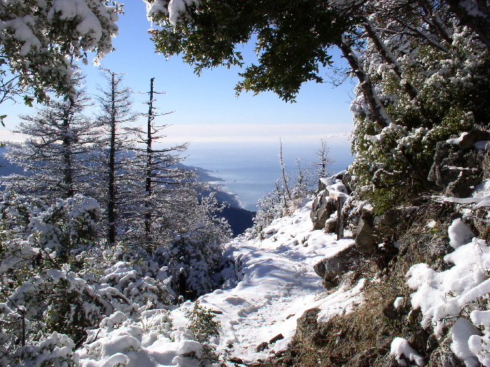
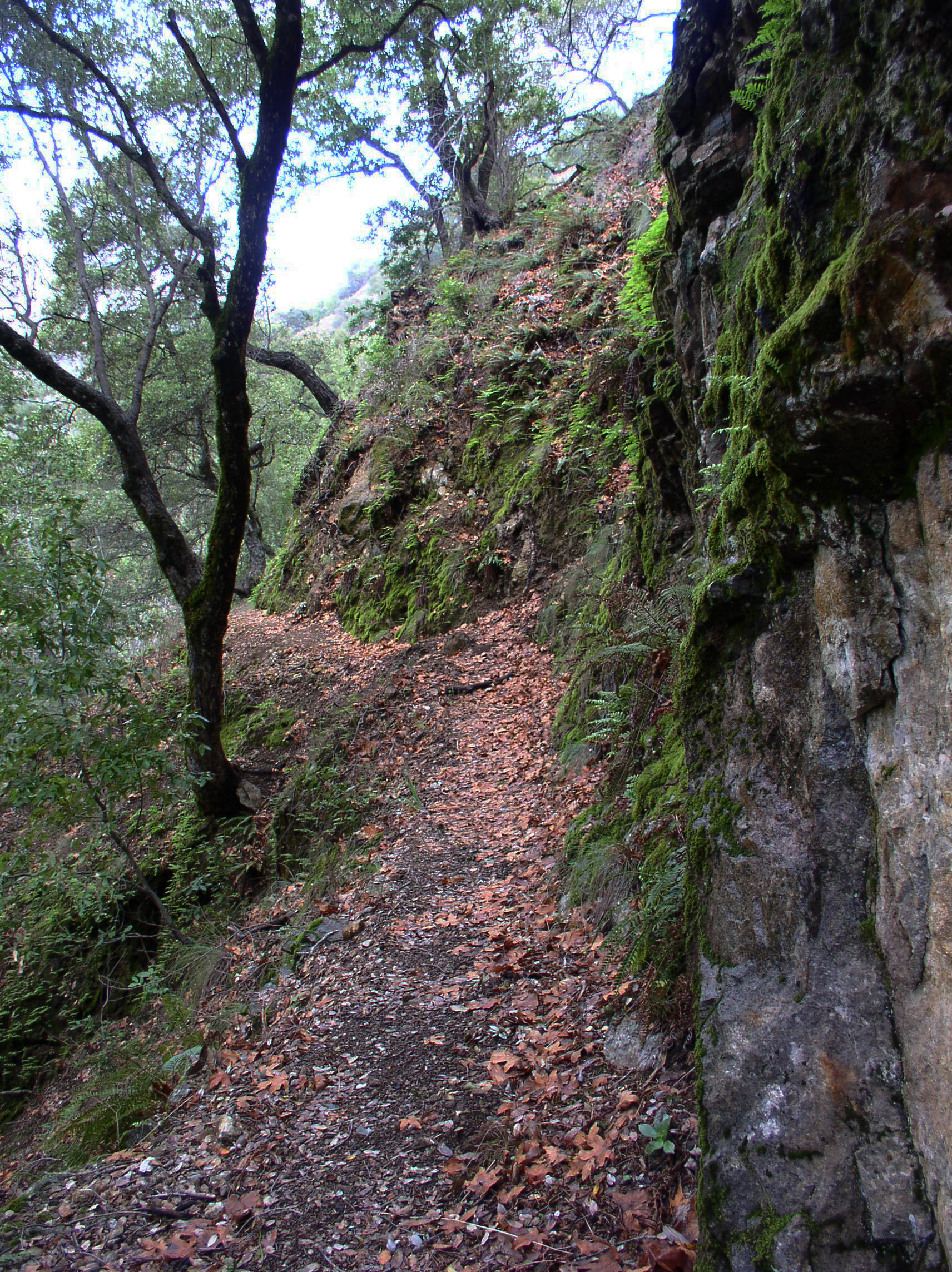
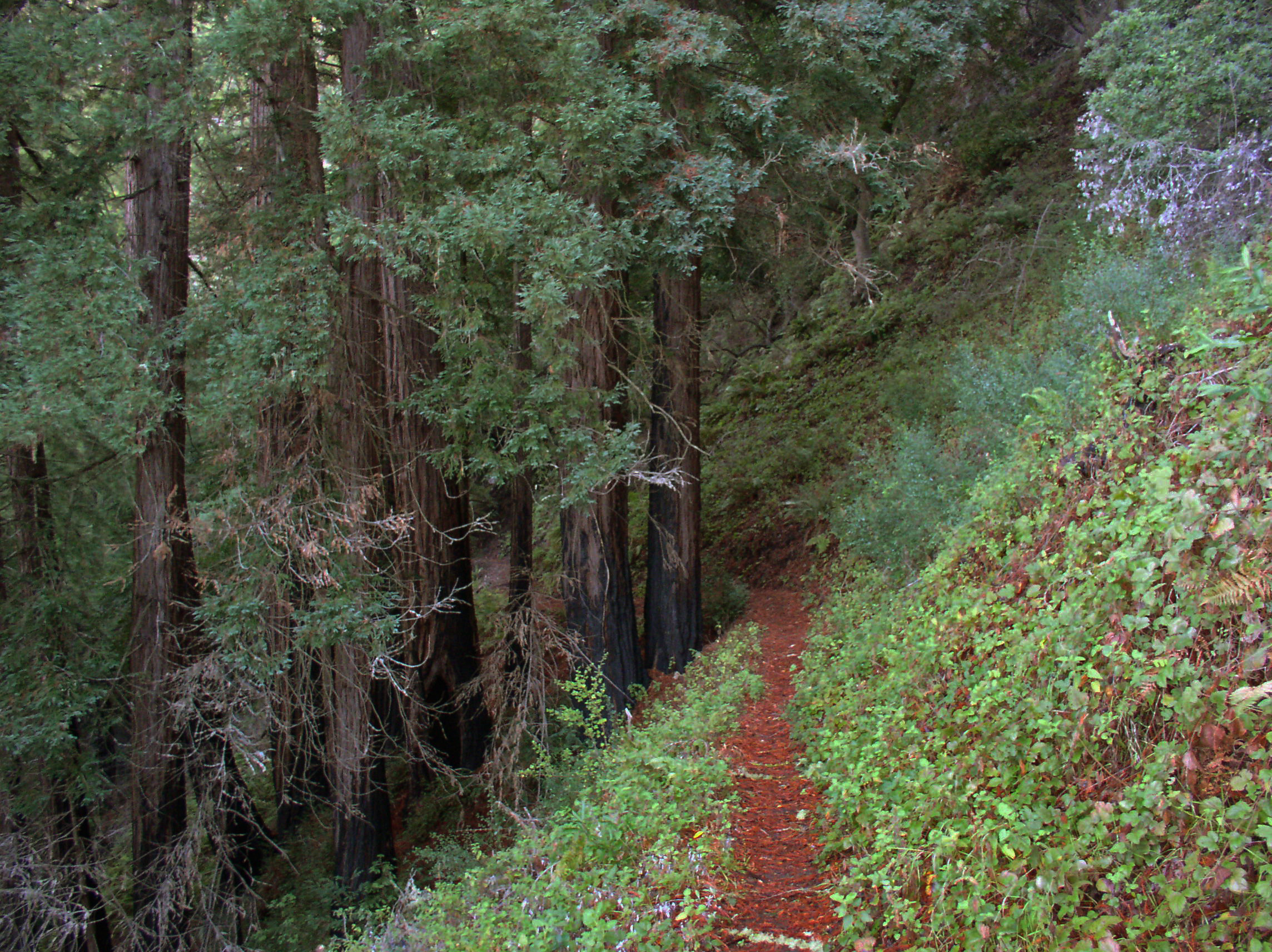
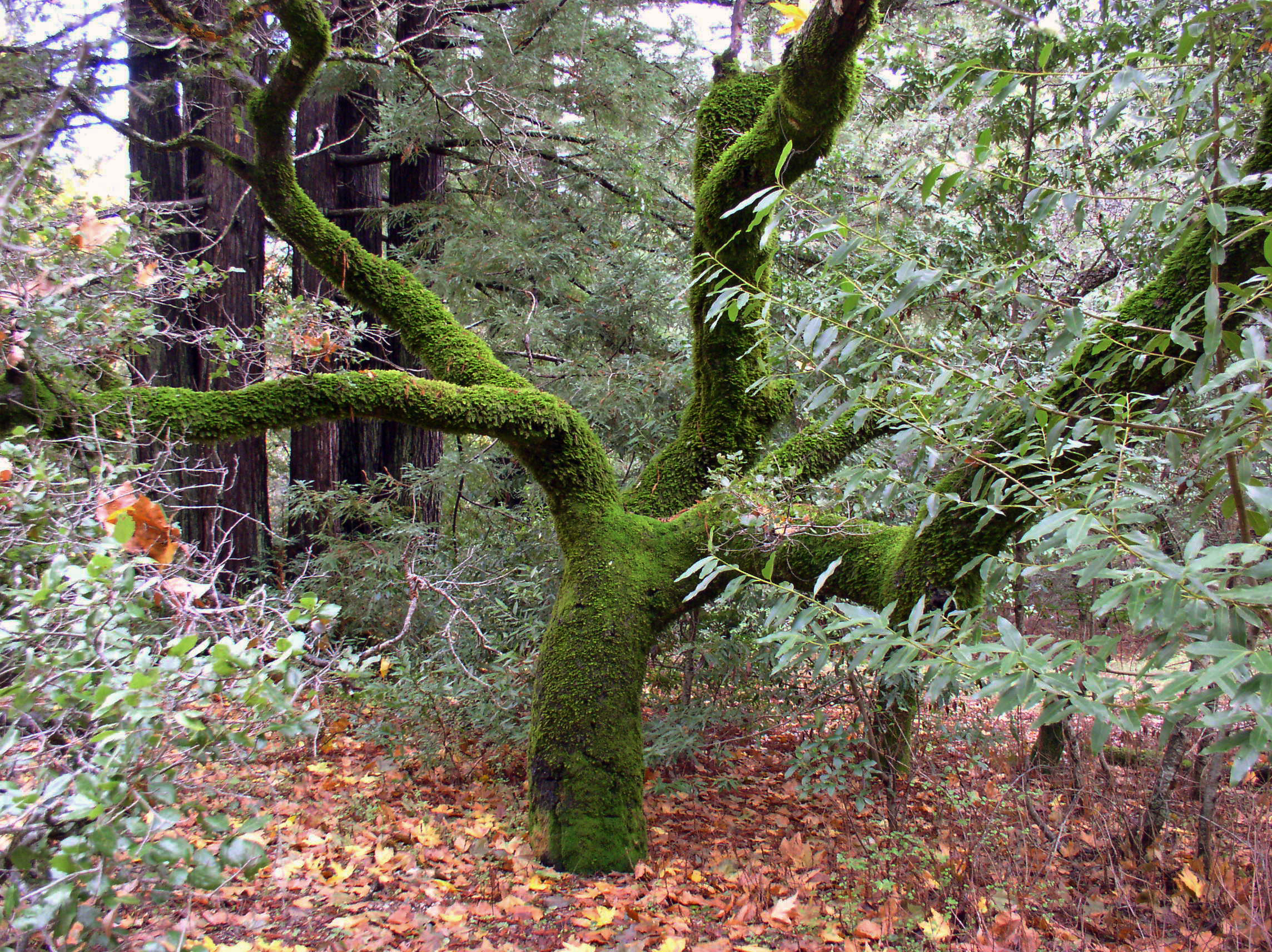
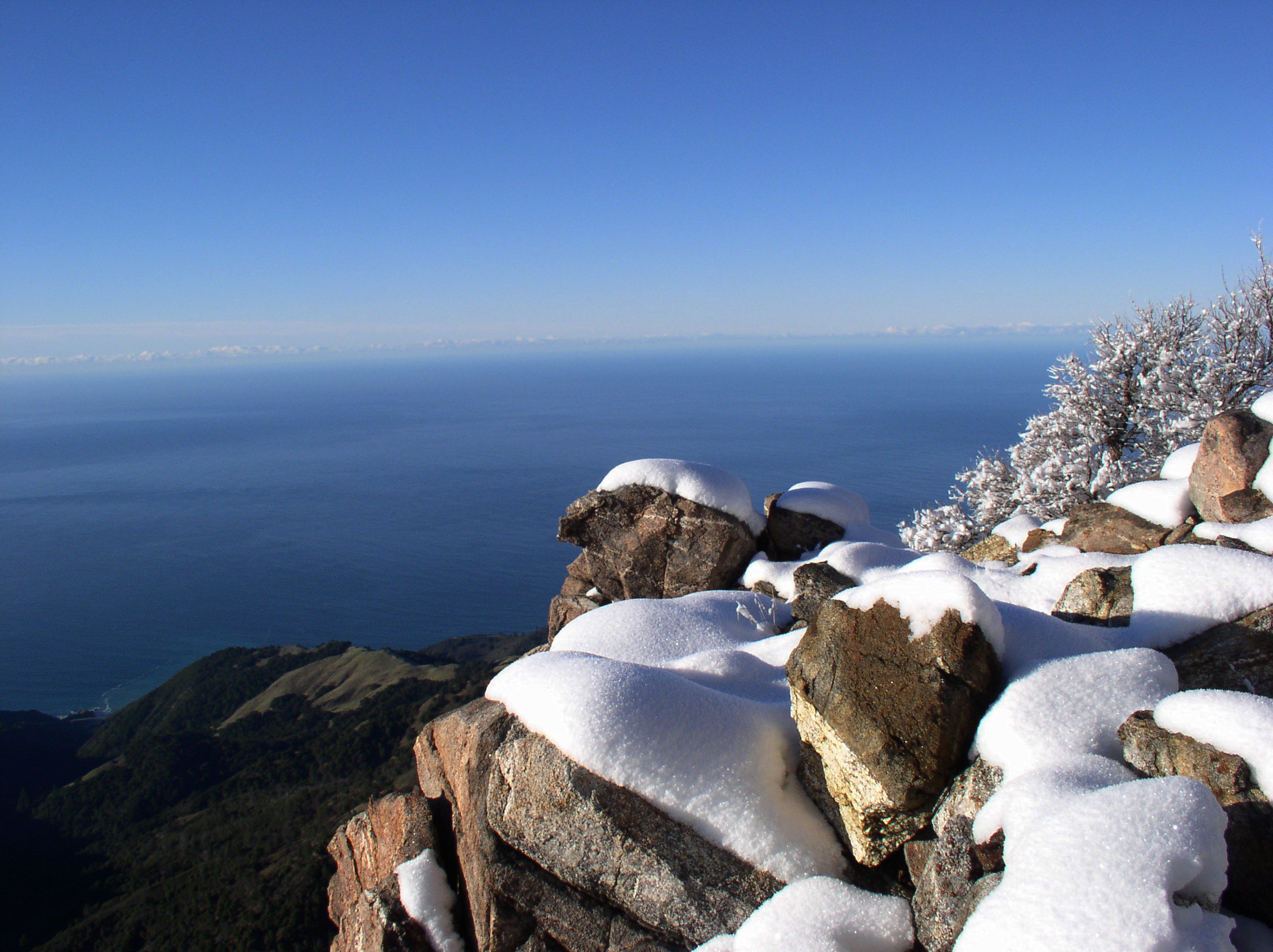
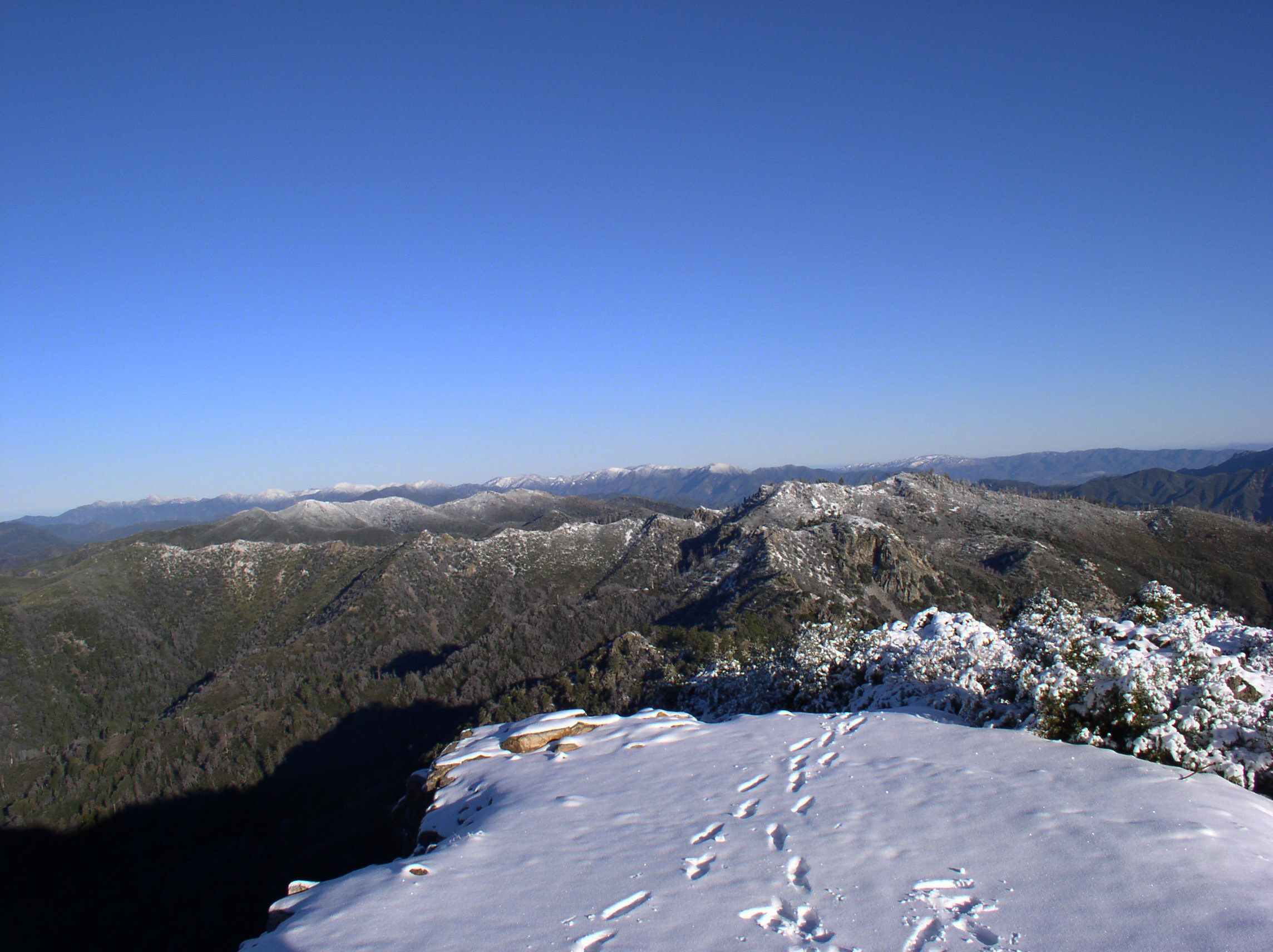
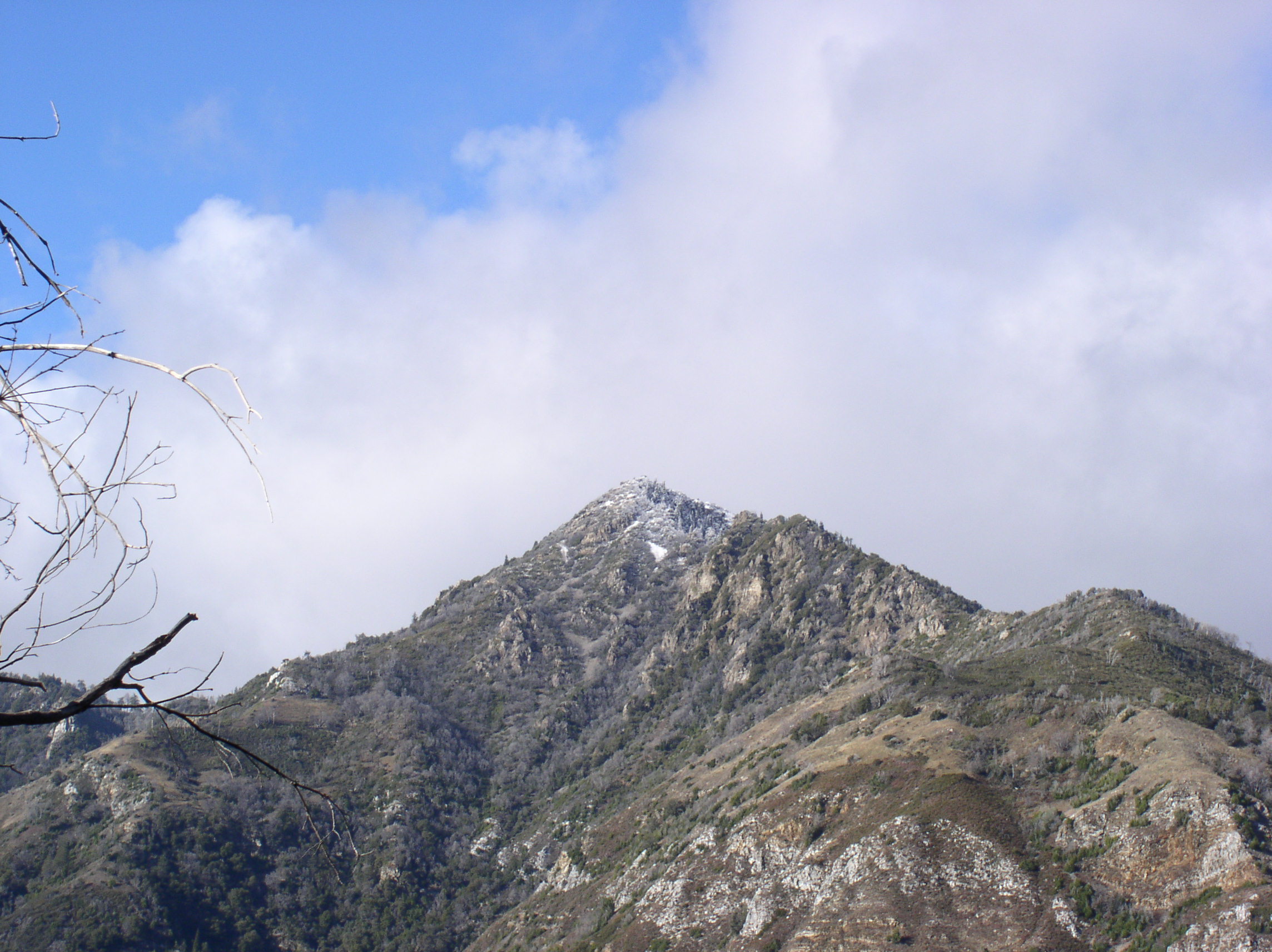
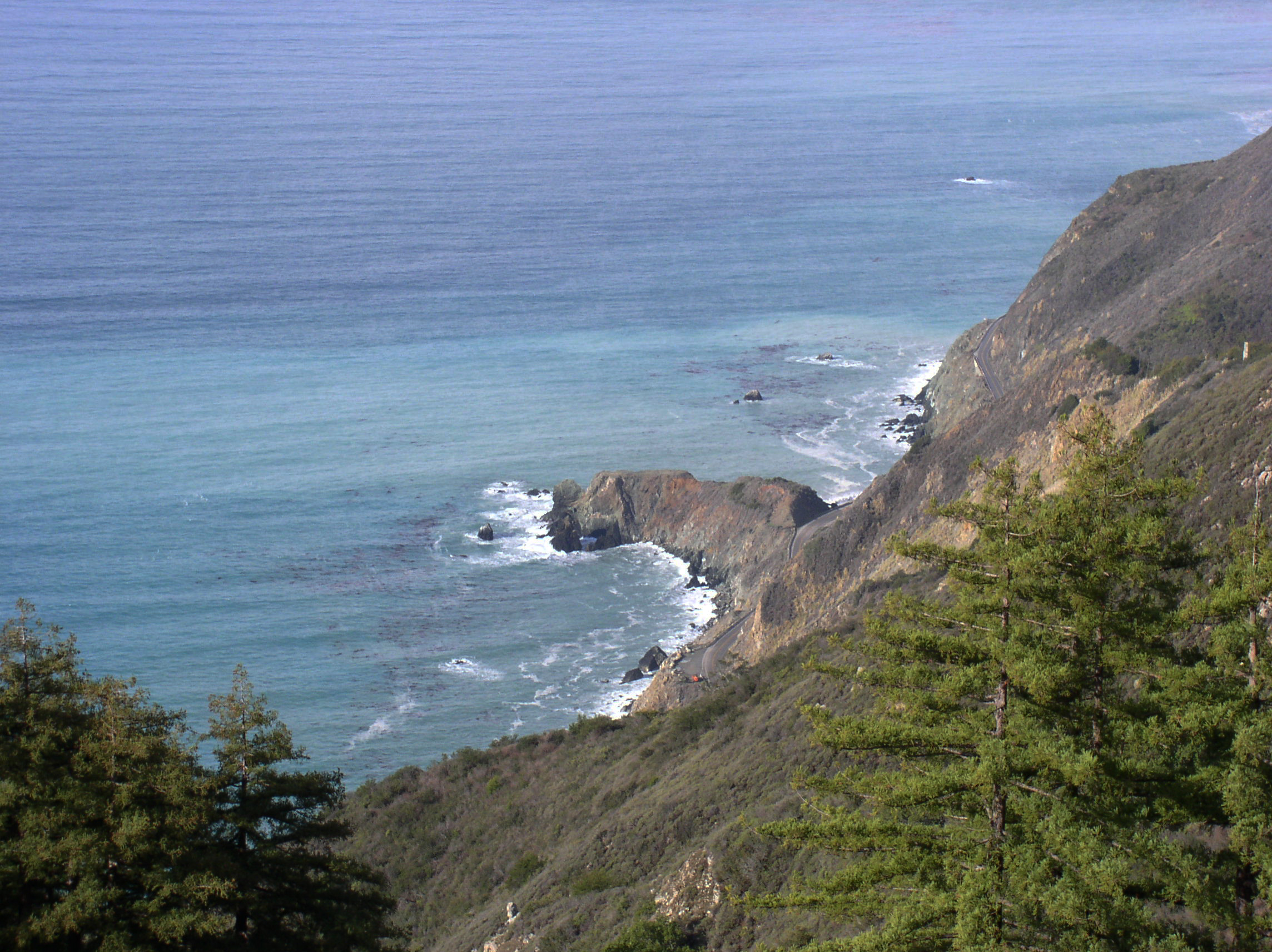
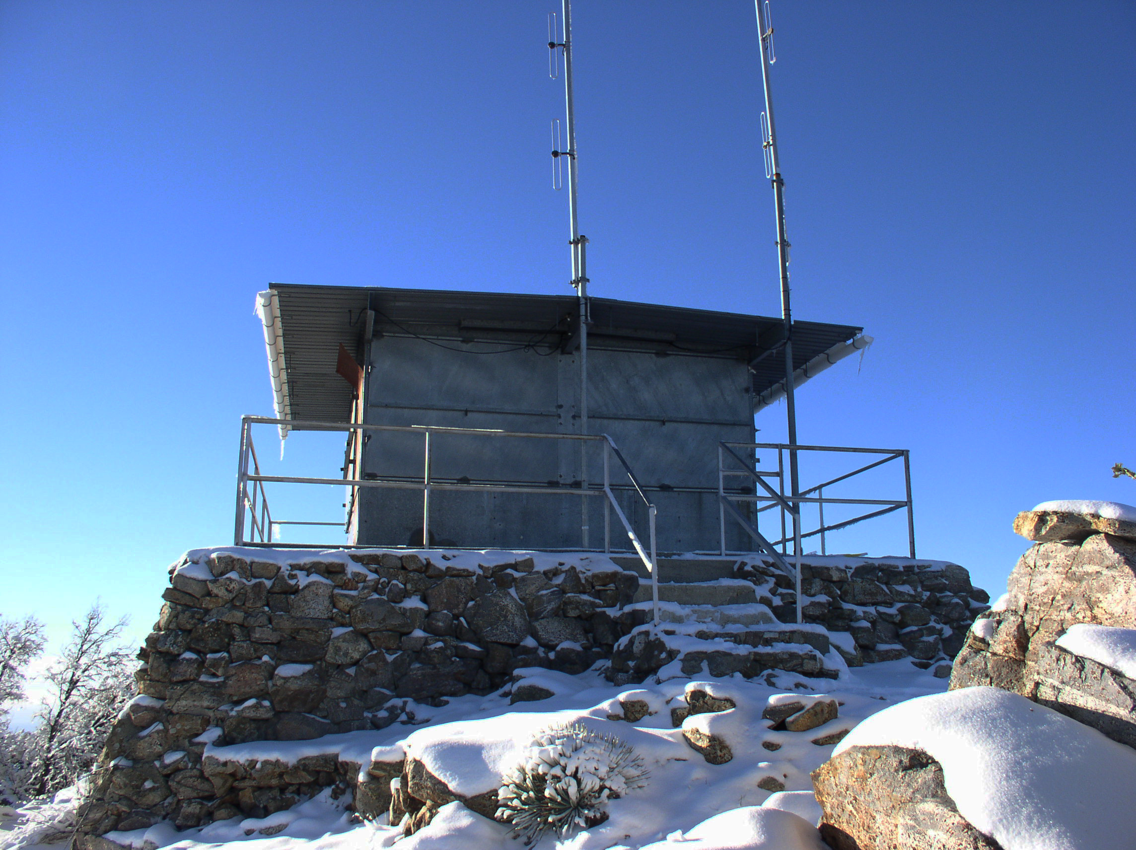
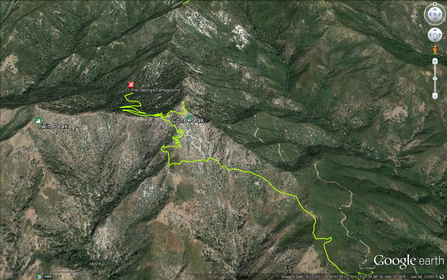
The Cone Peak Trail is a 3 mile trail in the Ventana Wilderness, located in Monterey County. The trail connects the Central Coast Road (20S05.3) and the Gamboa Trail (4E11). The trail has impresive views of the Pacific Ocean as you climb to top of Cone Peak (5355 feet).


Trail Details

  • Trail #: 4E12
  • Wilderness Area: Ventana
  • County: Monterey County
  • Ranger District: Monterey Ranger District
  • Trail-head Latitude: 36.04226
  • Trail-head Longitude: -121.48284
  • Water Sources: CENTRAL COA 20S05.3
  • Trail Condition: Good - Trail is easy to follow and is in good shape
  • Topo Maps:
  • Activities & Features:
    • Backpacking
    • Creek
    • Day Hiking
    • Wildlife Viewing
    • Wilderness Camping


Trail Stats

  • Total Elevation Gain: + 1786 feet.
  • Total Elevation Loss: - 1711 feet.
  • Overall Average Slope Gain: + 15 %.
  • Overall Average Slope Loss: - 20 %.
  • Kilometers: (km)
  • Meters: (m)
  • Miles: (mi)
  • Feet: (ft)
  • Average Slope: (%)

Trail Camps

Trail Springs Camp

Upload Images Aerial Overview Image Login to Download GPS File
Survey This Trail

Survey Photos:


  • B2H - 12-27-2003

  • B2H - 12-27-2003

  • B2H - 12-27-2003

  • B2H - 12-27-2003

  • B2H - 12-27-2003

  • B2H - 12-27-2003

  • B2H - 12-27-2003

  • B2H - 12-27-2003

  • B2H - 12-27-2003

  • Megan Gee - 11-23-2017

  • Megan Gee - 11-23-2017

  • Megan Gee - 11-23-2017

  • Megan Gee - 11-23-2017

  • Megan Gee - 11-23-2017

Submitted Trail Reports

Cone Peak Trail Survey - 11-23-2017 - by Megan Gee
Link: Cone Peak Trail
Date: 11-23-2017
Surveyor Name:Megan Gee
Trail description:Beautiful trail, we did it south to north on day 1 to get the challenge out of the way
Mode of transport:Hike
Trail condition:Good shape and easy to follow
Images:


Cone Peak Trail Survey - 04-23-2017 - by Carter Wilson
Link: Cone Peak Trail
Date: 04-23-2017
Surveyor Name:Carter Wilson
Trail description:Overall the trail is in fairly good shape. Poison Oak protrudes into trail in some locations, but otherwise is easily passable.

Road is still closed which adds 6 mi each way
Mode of transport:Hike
Trail condition:Needs some work
Condition details:Some spots shrub is overgrown.
Cone Peak Trail Survey - 12-27-2003 - by B2H


Link: Cone Peak Trail
Date: 12-27-2003
Surveyor Name:B2H
Mode of transport:Hike
Trail condition:Needs some work
Cone Peak Trail Survey - 12-27-2003 - by B2H
Link: Cone Peak Trail
Date: 12-27-2003
Surveyor Name:B2H
Mode of transport:Hike
Trail condition:Needs some work
Images:


Leave A Trail Report

Survey / Report Form - Please click this box to open the form.


Last Updated: Thursday, February 18, 2016


Join Mailing List
×
Get updates on conditions, surveys and more...


Current Weather »


L.P.N.F. Contacts »

  • Forest Headquarters
    Phone: (805) 968-6640
  • Mt. Pinos District
    Phone: (661) 245-3731
  • Ojai Ranger District
    Phone: (805) 646-4348
  • Santa Barbara District
    Phone: (805) 967-3481
  • Santa Lucia District
    Phone: (805) 925-9538
  • Monterey District
    Phone: (831) 385-5434