 Upper Rancho Nuevo Camp South Los Padres National Forest
- Camp Type: Wilderness Trail Camp
- Topo Map Link: Rancho Nuevo Creek
- Elevation: 4068 feet
- Wilderness Area: Dick Smith
- County: Santa Barbara County
- Ranger District: Mt. Pinos Ranger District
- Longitude: -119.4606247
- Latitude: 34.68617917
- Water Sources: Seasonal
- Length of Stay: 14 Days
- Reservations: Wilderness Trail Camp
Recent Water Reports:
| Date | Surveyor | Water Report |
| 03-14-2021 | Luna | Flowing |
| 12-27-2020 | Christopher P. Lord | Trickle |
| 04-05-2020 | Louis Tremblay | Flowing |
| 11-02-2019 | Craig R. Carey | Trickle |
| 04-20-2019 | James Wapotich | Flowing |
| 05-06-2018 | Shaddus Maximus | Trickle |
| 04-06-2018 | M. Jones | Flowing |
| 12-16-2016 | Los Padres Forest Association | Stagnant |
| 03-27-2016 | Geoff | Trickle |
| 04-11-2015 | BC | Stagnant |
| 03-02-2015 | Mark Subbotin | Trickle |
Description:
Upper Rancho Nuevo Camp is a small camp just above a narrows along the Rancho Nuevo Trail. Water in this part of the Dick Smith Wilderness is very seasonal. Don't expect to find good water during the Summer and early Fall months. There is not much at the camp other than an old fire grate and some random pots and pans. The camp used to be set under some shade bearing alder tree but the trees were burned in the 2007 Zaca Fire. As a result the camp is not very attractive and can be quite exposed. All this being said, like most camps, if you give it time and a chance, you will most likely enjoy a night spent under the stars at Upper Rancho Nuevo.
Recent Uploads:
Photo By: Craig R. Carey - Website Link
Survey Photos:

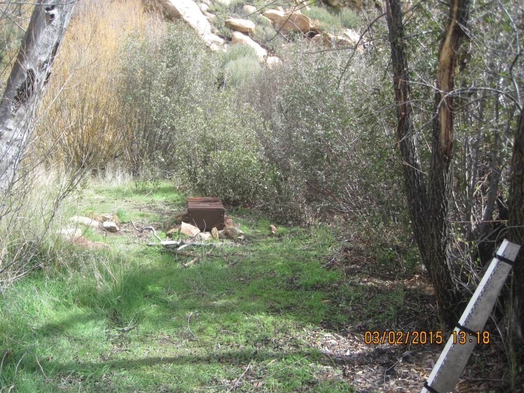
Mark Subbotin - 03-02-2015
campsite & stove
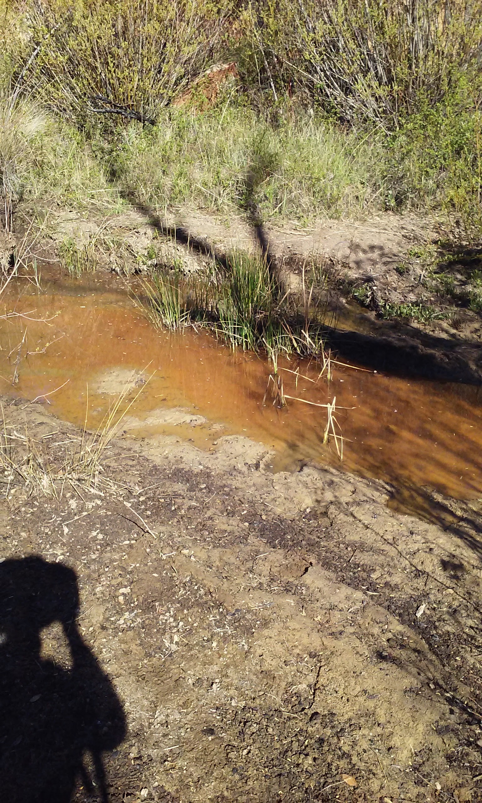
BC - 04-11-2015
Water situation
BC - 04-11-2015
My darkest nightmare
Geoff - 03-27-2016
Looking north-northeast towards the fire grate from the central open area.
Geoff - 03-27-2016
Sleeping bags and other trash at the campsite.
Geoff - 03-27-2016
Camp on the terrace, near 119.461033°W 34.685583°N.
Geoff - 03-27-2016
Another view of the camp on the terrace, near 119.461033°W 34.685583°N.
Geoff - 03-27-2016
The stagnant water pool near the campsite.
Geoff - 03-27-2016
Flowing water about 415 ft downstream from the campsite.
Los Padres Forest Association - 12-16-2016
The slender camp at URN
Los Padres Forest Association - 12-16-2016
Great rock outcrops outside of camp
Los Padres Forest Association - 12-16-2016
And the detritus of campers come and gone - BUMMER
M. Jones - 04-06-2018
Camp after visit and clean up
M. Jones - 04-06-2018
View of camp from west
Craig R. Carey - 11-02-2019
Sign Install
Craig R. Carey - 11-02-2019
Craig R. Carey - 11-02-2019
Camp stoves
Craig R. Carey - 11-02-2019
Christopher P. Lord - 12-27-2020
Christopher P. Lord - 12-27-2020
Christopher P. Lord - 12-27-2020
Christopher P. Lord - 12-27-2020
Christopher P. Lord - 12-27-2020
Christopher P. Lord - 12-27-2020
Submitted Camp Reports
Leave A Camp Report
Last Updated: Friday, July 31, 2015


 Use Marker Groups
 Upper Rancho Nuevo Camp Survey - 03-14-2021 - by Luna