Welcome To Hike Los Padres!
User Log In or Sign Up
Use Marker Cluster
Markers: Use Marker Groups
Time used: ms
Routes
    Trails
    OHV Trails
    Forest Roads
    Streams
Wildfire Layers
    Wolf 2002
    Piru 2003
    Day 2006
    Zaca 2007
    Gap 2008
    La Brea 2009
Forest Layers
    Forest Boundary
    Wilderness Areas
    Ranger Districts
    Counties
    Topographic Outlines
    Trailheads
    OHV Trailheads
Helpful Hints
    ↣ Right click the map for location data. ↣ Click a stream for Water Stats.

Salt Creek Camp South Los Padres National Forest

  • Camp Type: Trail Camp
  • Topo Map Link: Cuddy Valley
  • Elevation: 4600 feet
  • Wilderness Area: Non Wilderness Area
  • County: Kern County
  • Ranger District: Mt. Pinos Ranger District
  • Longitude: -119.0448931
  • Latitude: 34.86988333
  • Length of Stay: 14 Days
  • Reservations: Trail Camp

Recent Water Reports:

Date Surveyor Water Report
08-02-2021Oh ThreeTrickle
03-07-2021Oh ThreeStagnant

Photo By: Oh Three - Website Link

Photo By: Oh Three - Website Link

Photo By: Oh Three - Website Link
Upload Image
Survey This Camp

Description:

Salt Creek Camp is located minutes outside of Frazier Park along the Salt Creek OHV route.

Recent Uploads:

Survey Photos:


  • Oh Three - 03-07-2021
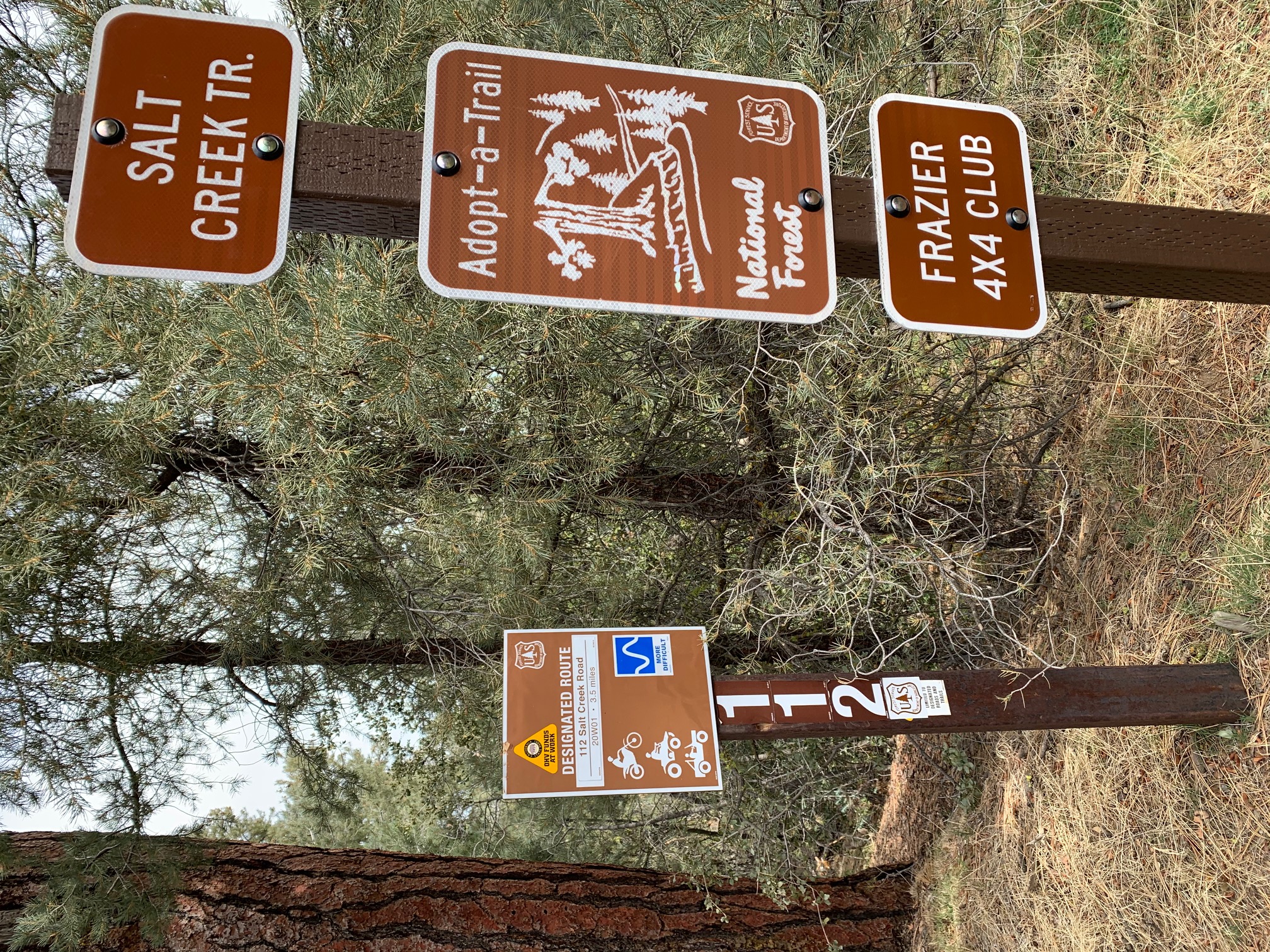
    Salt Creek CG Sign

  • Oh Three - 03-07-2021
    Salt Creek CG Giant Oak Tree

  • Oh Three - 03-07-2021
    Busted Water Trough near Salt Creek CG

  • Oh Three - 03-07-2021
    Salt Creek Snow Melt Mud Puddle Water

  • Oh Three - 08-02-2021
    Salt Creek CG 080221

  • Oh Three - 08-02-2021
    Salt Creek flowers 080221

Submitted Camp Reports

Salt Creek Camp Survey - 08-02-2021 - by Oh Three
Link: Salt Creek Camp
Date: 08-02-2021
Surveyor Name:Oh Three
Camp Description:
As I forecast in my March discovery epistle, the large snow melt mud puddle at this site was not long for this world. Today the Salt Creek CG is bone dry. There's a slight trickle 100 yards above (south) the CG by the bone dry water trough, and there's a larger better trickle on the trail 1/4 mile below (north) of the CG. You'd have to dig a hole, let it fill, let it settle, then pump. It's much easier just to schlepp a couple extra water bottles with you from Cherry Creek.

Having said that, this site, as part of the Cherry Creek / Salt Creek loop, is exactly what the doctor ordered, a pleasant nature stroll, 2,000 feet down then 2k  elevation back up, among huge multi-trunked oaks and towering pines, with the exact right number of other people, -- zero.

I did get my front wheel drive Honda CR-V up to the top of Tecuya Ridge, cutting a mile off the entry and exit hikes, but I'd recommend 4-wheel drive.

Water Source:Trickle
Water Source Details:Campsite is bone dry, but there's a trickle on the trail both above and below the camp.
Weather Conditions:58 at night, 85 daytime. Very nice for August.
Images:

Salt Creek CG 080221

Salt Creek flowers 080221
Salt Creek Camp Survey - 03-07-2021 - by Oh Three
Link: Salt Creek Camp
Date: 03-07-2021
Surveyor Name:Oh Three
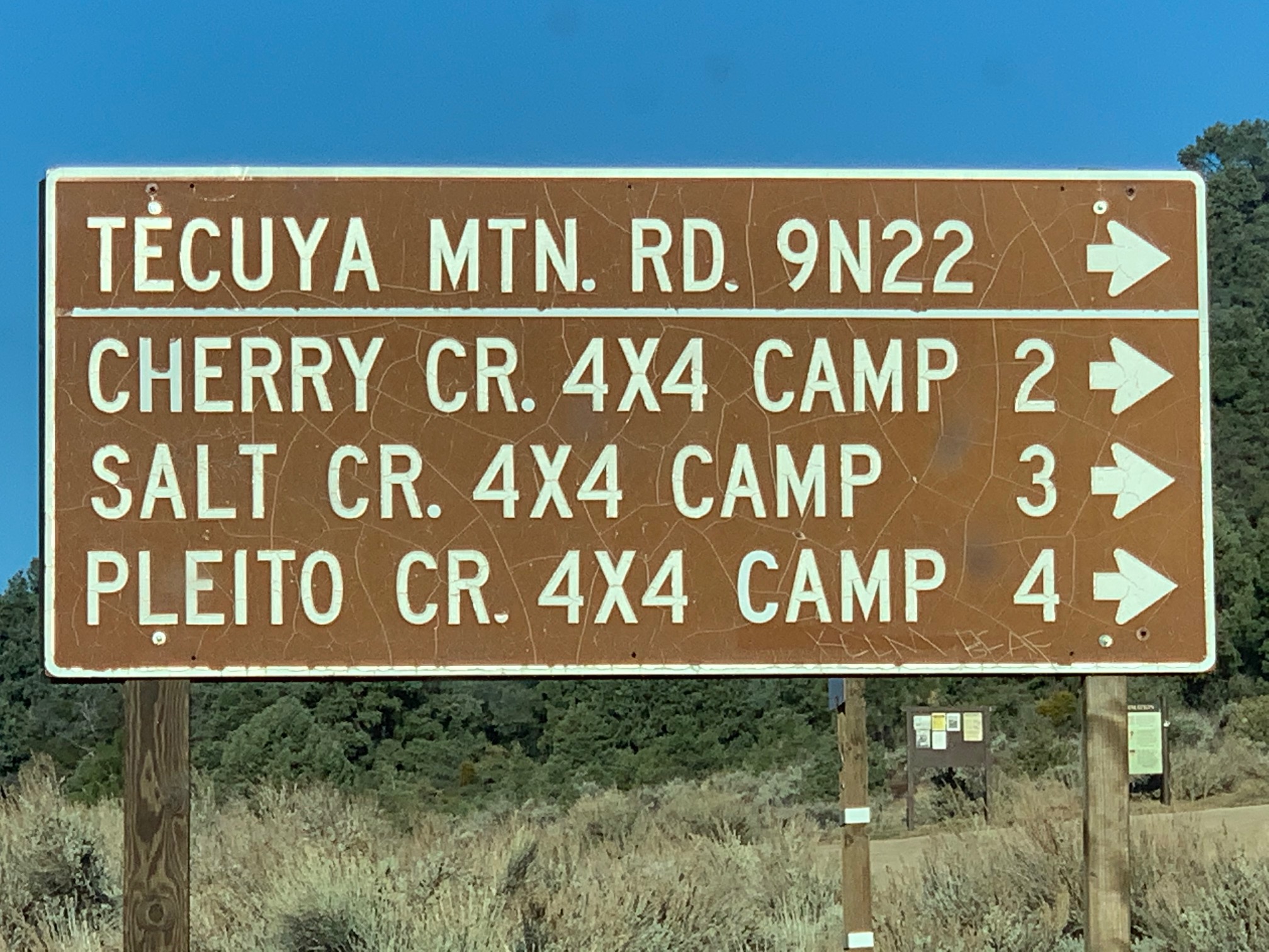
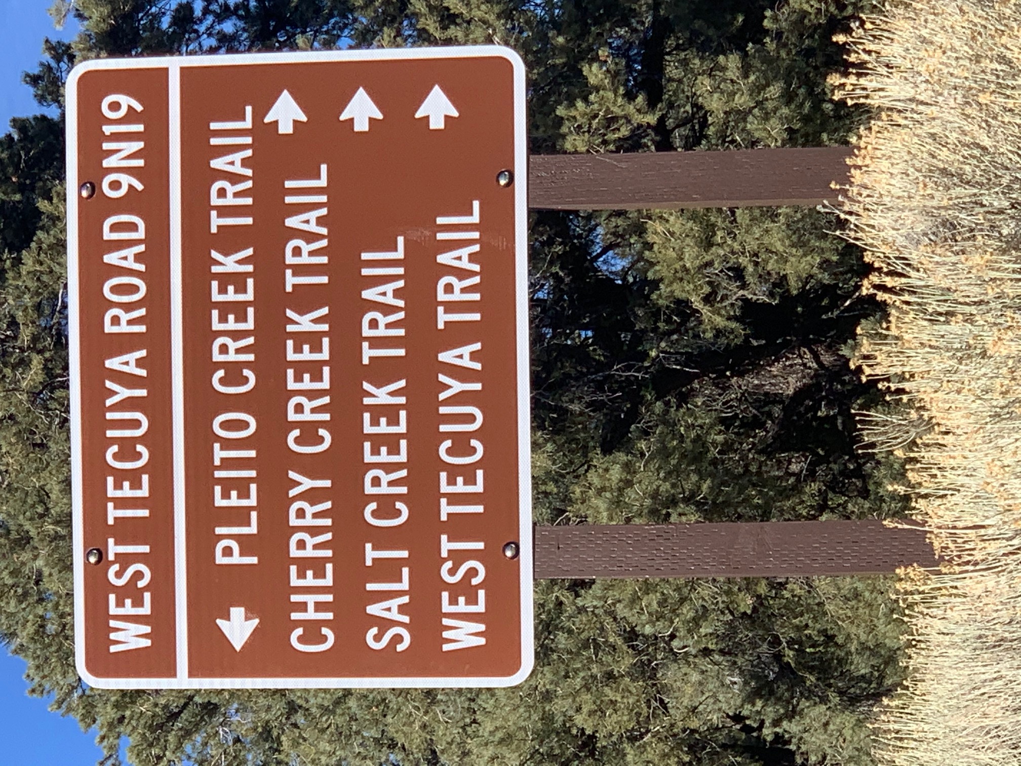
Camp Description:Forest Service Road 9N22 is on Cuddy Valley Road 11.0 miles from I-5 Frazier Park exit. Hike a little over 1 mile and 500 feet elevation up to the Tecuya Ridge Road sign. Turn right (east). At a circle, cut back northwest to the Trailhead Sign. Salt Creek Trail is a STEEP descent into a north drainage leading ultimately into Wind Wolves Preserve. Salt Creek Trail is 20W01 and OHV Trail 112. I buy OHV trail maps (CTUC, etc) because OHV trails make great winter hikes when motorbikes are nominally banned. I think Salt Creek CG is on the Escapula Peak drainage much higher on the road than it is located on the National Geographic map, but I am just an old school terrain association paper map navigator. GPS anyone? Anyway, Salt Creek CG has one picnic table and metal firepit. There is a large flat-ish area just west of the CG behind some brush in case the one CG site is occupied, or go another mile or so downhill for gypsy campsites. The water trough is 500 feet up the trail and is not working. Snow melt created a big mud puddle (3/7/21) but I would not count on that water much longer. See my review of Cherry Creek CG for an awesome loop suggestion. Recommend you go down Cherry and up Salt, since the Cherry Creek use trail junction with Salt Creek Road is not marked. Salt Creek TH is 6,250, Salt Creek CG is 5,100, and the Cherry/Salt Creeks intersection is 4,280. Remember you need to hike back up on day 2 all the elevation you descended on day 1. Big trees, awesome view. Wonderful wilderness.
Water Source:Stagnant
Water Source Details:Snow melt mud puddle 030721
Weather Conditions:Clouds and brisk day, freezing at night
Images:

Salt Creek CG Sign

Salt Creek CG Giant Oak Tree


Busted Water Trough near Salt Creek CG

Salt Creek Snow Melt Mud Puddle Water

Leave A Camp Report

Survey / Report Form


Last Updated: Friday, July 31, 2015

Join Our Mailing List
×
Get updates on conditions, surveys and more...

L.P.N.F. Contacts »

  • Forest Headquarters
    Phone: (805) 968-6640
  • Mt. Pinos District
    Phone: (661) 245-3731
  • Ojai Ranger District
    Phone: (805) 646-4348
  • Santa Barbara District
    Phone: (805) 967-3481
  • Santa Lucia District
    Phone: (805) 925-9538
  • Monterey District
    Phone: (831) 385-5434