 Use Marker Groups
 Wolf 2002
Piru 2003
Day 2006
Zaca 2007
Gap 2008
La Brea 2009

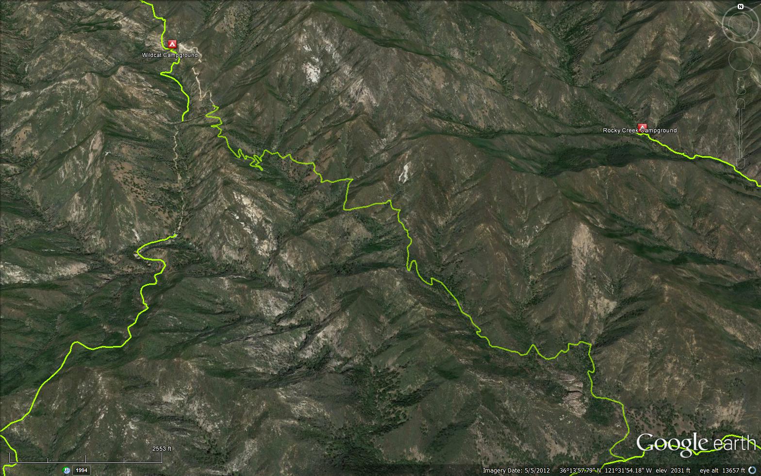
A 5 mile trail in the Ventana Wilderness located in Monterey County. The trail connects the Tassajara Road and the Marble Peak Trail (4E07).
 Horse Pasture Trail Survey - 04-13-2025 - by Sam Graves
| Link: | Horse Pasture Trail |
| Date: | 04-13-2025 |
| Surveyor Name: | Sam Graves |
| Trail description: | Crossing Tassajara Creek from Marble Peak trail is easy with a shallow wade and slow water. From then on the trail is designated only by occasional cairns and pink tape. The general contours could be followed but there was no clean, obvious trail. Rough going with little maintenance, deadfalls, and a stagnant spring running down the ravine which is crossed and crisscrossed repeatedly. We got close to the Tassajara Cutoff before deciding we were spending too much time navigating and turned back to Marble Peak Trail. Also, for anyone coming from Arroyo Seco be aware that the Horse Pasture Bridge is washed out; you'll need to wade in water that can get deep for some folks (up to my waist and I'm a little over six-foot). |
| Mode of transport: | Hike |
| Trail condition: | Hard to follow |
 Survey / Report Form - Please click this box to open the form.