- Camp Type: Wilderness Trail Camp
- Topo Map Link: Cone Peak
- Elevation: 2400 feet
- Wilderness Area: Ventana
- County: Monterey County
- Ranger District: Monterey Ranger District
- Longitude: -121.4918358
- Latitude: 36.10865424
- Length of Stay: 14 Days
- Reservations: Wilderness Trail Camp
Recent Water Reports:
| Date |
Surveyor |
Water Report |
| 10-31-2019 | Huston | Flowing |
Submitted Camp Reports
 Forks Camp Survey - 10-31-2019 - by Huston
| Link: | Forks Camp |
| Date: | 10-31-2019 |
| Surveyor Name: | Huston |
| Camp Description: | Arroyo Seco Trail hazardous but passable horseback from Memorial Camp to Forks Camp, but too many downed trees between there and Madrone Camp to get through unless on foot.
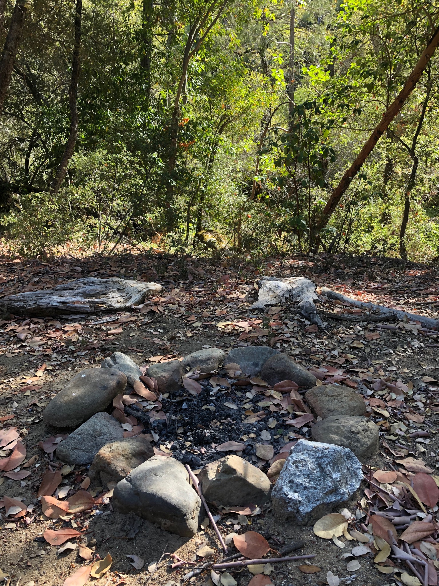
Nice, fast, Â scenic, mostly shady 2 mile hike from trailhead to Forks Camp, several primitive camps to choose from on the river.
O ya, and lots of little flies right now. |
| Water Source: | Flowing |
| Water Source Details: | Arroyo Seco River flowing strong, cold and crystal clear |
| Weather Conditions: | Clear and 65 degrees |
| Images: |  sign post  camp
 another camp  a third camp
 river |
Leave A Camp Report
-
 Survey / Report Form
Last Updated: Tuesday, March 1, 2016
