Cole Spring - Los Padres National Forest
34.92222, -119.90806
Details
- Longitude: -119.90806
- Latitude: 34.92222
Recent Water Reports:
| Date |
Surveyor |
Water Report |
| 02-20-2021 | Andy | Dry |
| 11-1-2015 | James Wapotich | Trickle |
Description:
Cole Spring is located in the Los Padres National Forest. The spring is on the Bates Canyon Topo Map, If you have recently visited this spring, please give us some feed back on the water quality.
Survey Photos:

James Wapotich - 11-1-2015
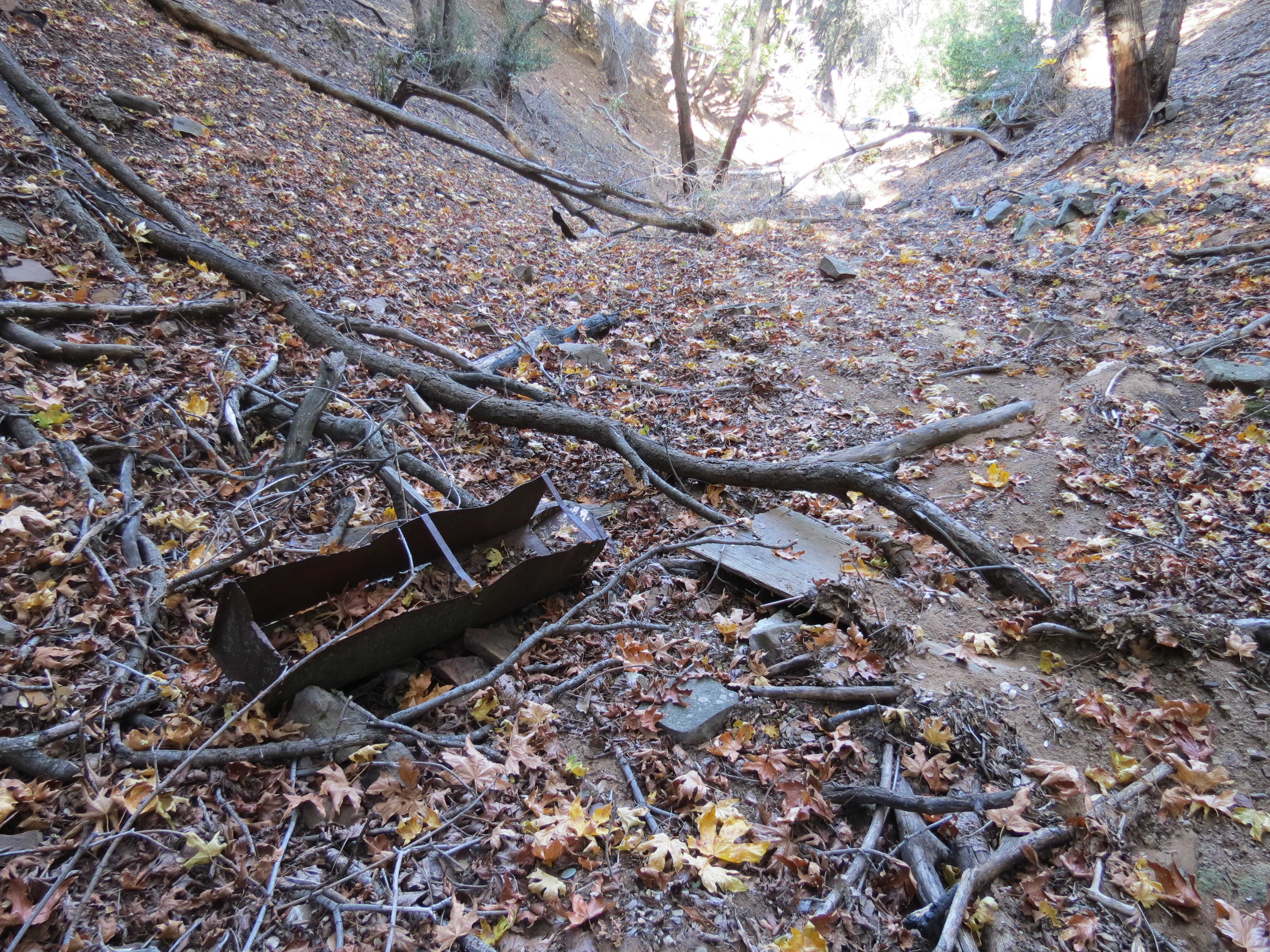
Ice Can Stove near Cole Spring
James Wapotich - 11-1-2015
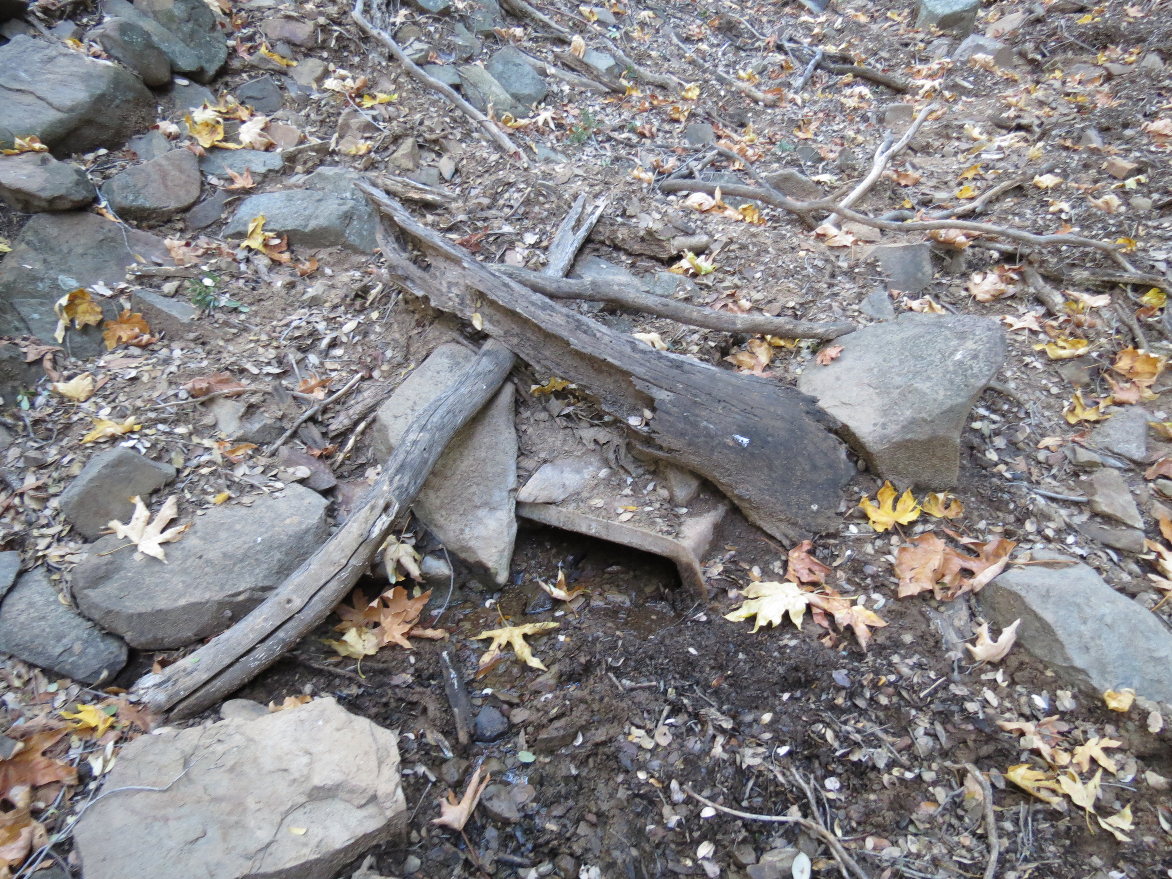
Cole Spring
Weather Forecasts for Cole Spring
Submitted Reports
 Cole Spring Survey - 02-20-2021 - by Andy
| Link: | Cole Spring |
| Date: | 02-20-2021 |
| Surveyor Name: | Andy |
| Camp Description: | |
| Water Source: | Dry |
| Water Source Details: | Unable to find any water. None of the canyons between Bates CG and the Sierra Madre Rd had water |
| Weather Conditions: | |
 Cole Spring Survey - 11-1-2015 - by James Wapotich
| Link: | Cole Spring |
| Date: | 11-1-2015 |
| Surveyor Name: | James Wapotich |
| Camp Description: | There is no camp at this location. I don't know when it was removed. The nearest camp site is Bates Canyon Campground, which has 6 sites each with a metal fire ring and picnic table.Â
There is an old ice can stove to be found near the spring, although it's hard image how anyone would've camped there as it is a narrow canyon. |
| Water Source: | Trickle |
| Water Source Details: | There is water flowing from the spring into the canyon. It is a steady trickle, but one could conceivably filter it. |
| Weather Conditions: | |
| Images: |  Ice Can Stove near Cole Spring  Cole Spring |
Leave A Report
-
 Survey / Report Form - Please click this box to open the form.
Last Updated: Tuesday, August 13, 2013