Cerro Alto Loop Trail - Los Padres National Forest
Trail Distance 4.91 Miles
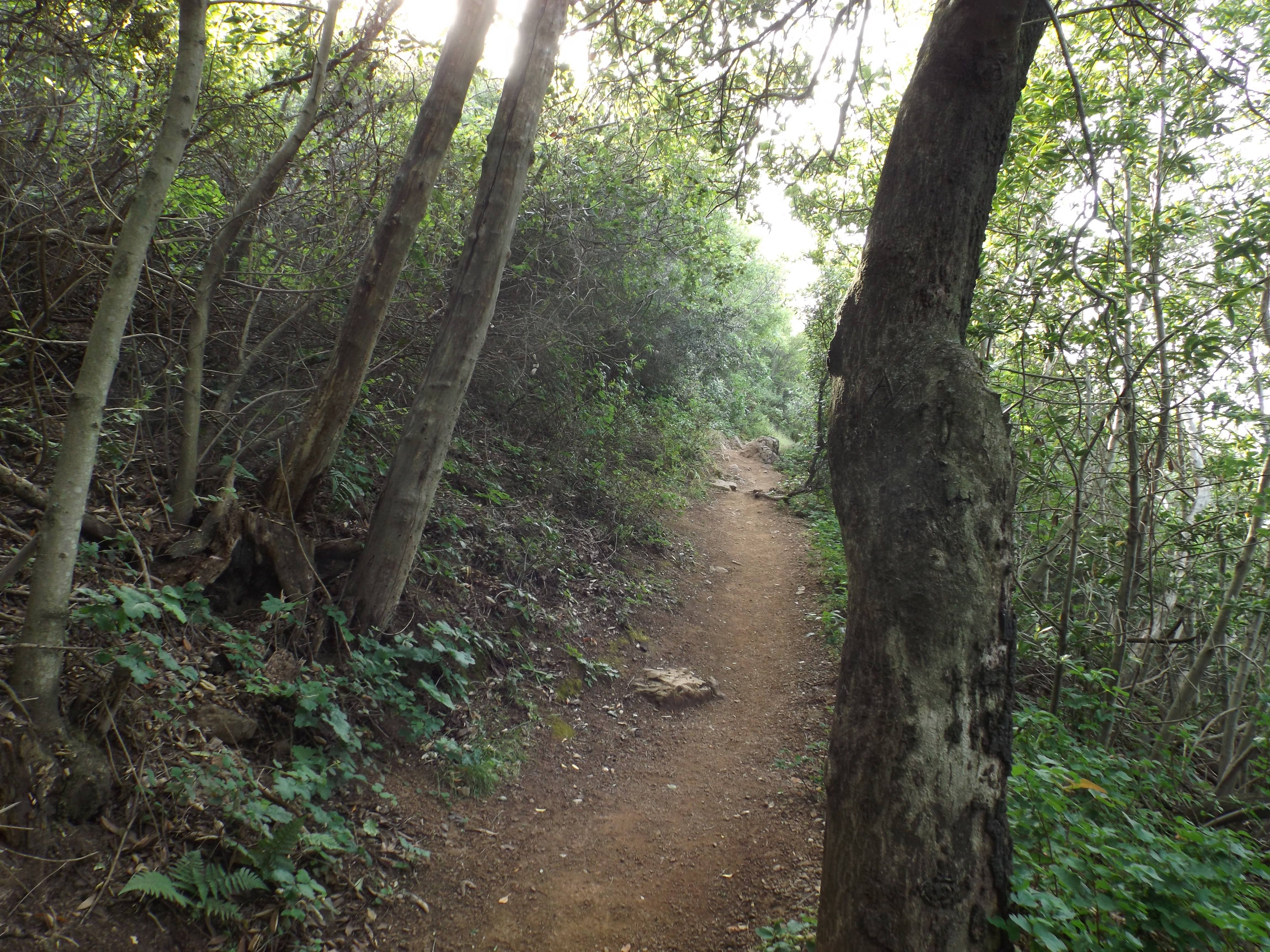
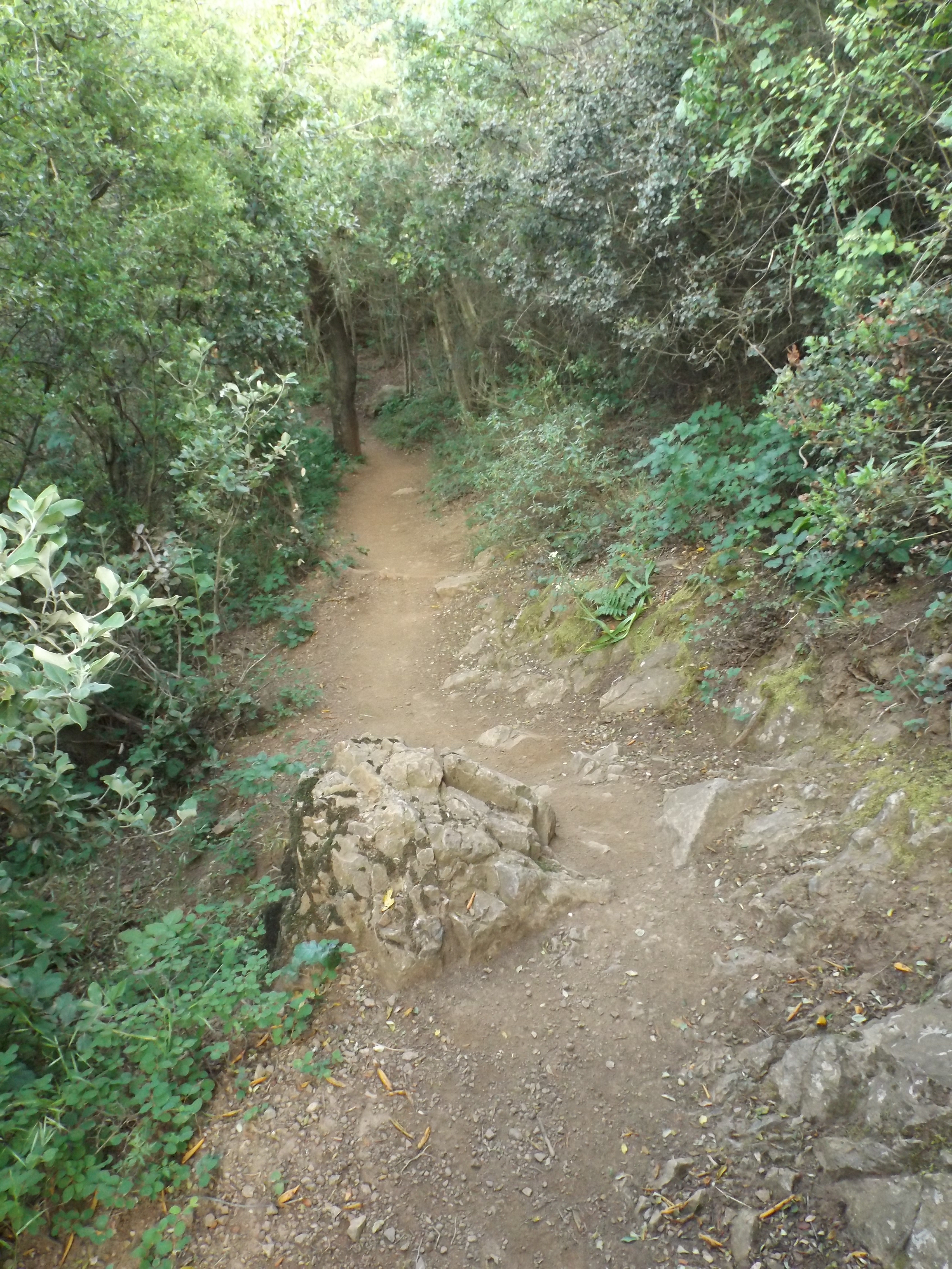
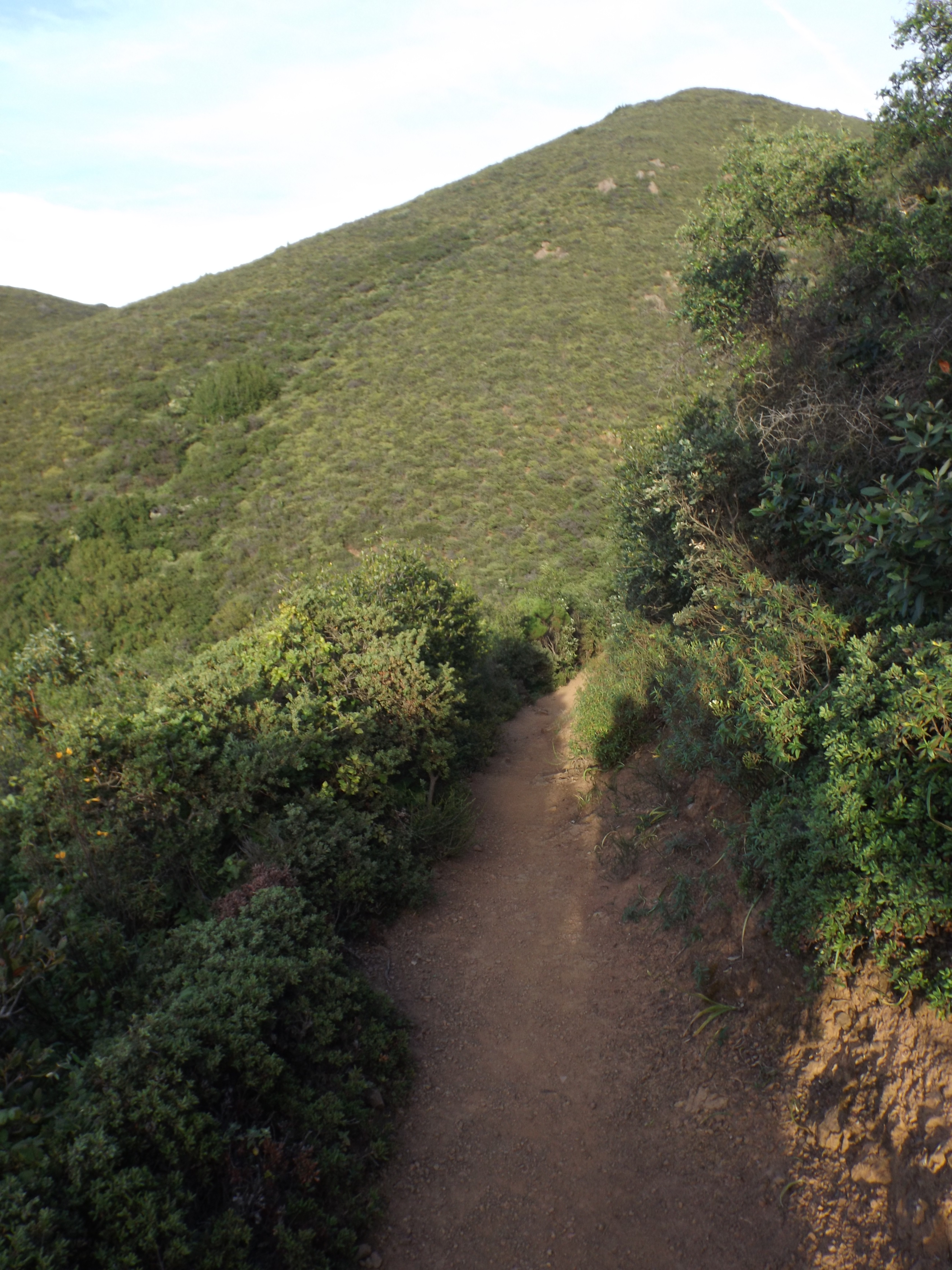
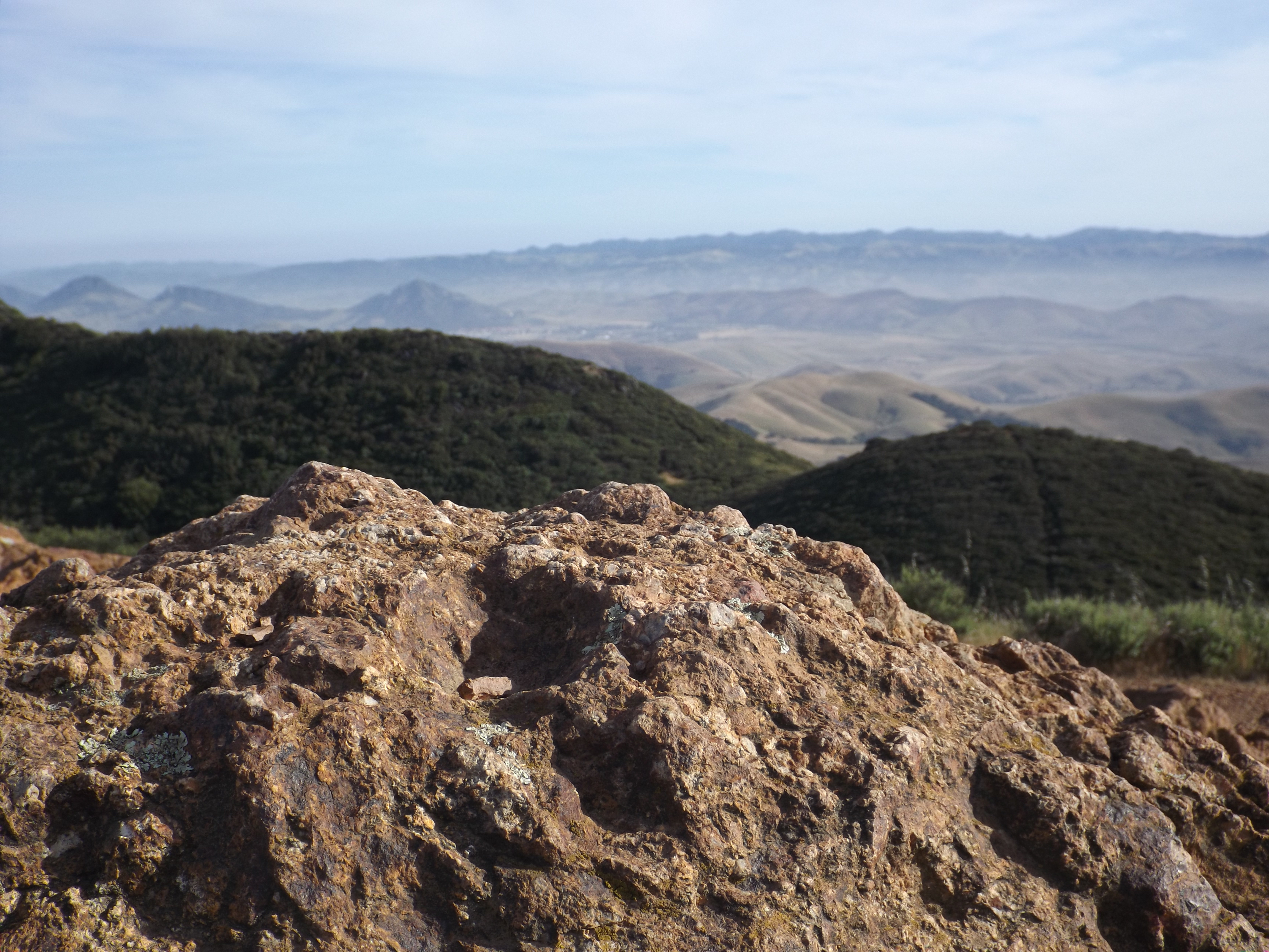
A 5 mile spledid day hike loop trail from Cerro Alto Campground that climbs up to the top of Cerro Alto (2624 feet.) This trail boost beautiful views of Morro Rock and is the northen most trail in the Santa Lucia Ranger District.
Submitted Trail Reports
-
 Cerro Alto Loop Trail Survey - 07-07-2024 - by Zachary Caipang
| Link: | Cerro Alto Loop Trail |
| Date: | 07-07-2024 |
| Surveyor Name: | Zachary Caipang |
| Trail description: | We got to the parking lot just before 0800. The asphalt road continues for a little over half a mile through the campsite until you reach the Cerro Alto trailhead. The very beginning of the trail takes you through well shaded areas with a little bit of poison oak. But quickly you start climbing the steep and exposed switchbacks. We went counterclockwise, taking the more direct way to the summit. During the summer this section could get pretty hot and a bit humid so be sure to bring ample water. The views at the top are pretty epic with views of the Ocean along Coastal SLO county as well as the western string of the 9 sisters peaks. The way down going clockwise takes you through more shaded groves and streams until you get back to the campsite. The trail is in very good condition as it looks like it has been brushed very recently. |
| Mode of transport: | Hike |
| Trail condition: | Good shape and easy to follow |
| Images: |  Views of coastal SLO County to the southwest from the summit.  Views to the north from the summit.
|
-
 Cerro Alto Loop Trail Survey - 07-26-2017 - by Anonymous Surveyor
| Link: | Cerro Alto Loop Trail |
| Date: | 07-26-2017 |
| Surveyor Name: | Anonymous Surveyor |
| Trail description: | What the fuck....this trail is hard and there's no warning that it is a) long and very steep b) slippery as fuck on the way down and c) not marked well. If you aren't an experienced hiker or in decent shape then I wouldn't go on this trail. Make sure to bring a lot of water, Yosemite level water, because it's sunny as fuck and you're going to sweat a lot. Bring food too if you don't want to pass out. Good luck not slipping and falling on all the fucking pebbles on the way down. Bring poles because that helps with that, but you still have to be super careful. We didn't think we were going to make it to the top but then we did and the view wasn't even worth it because it was foggy and the rest of the surroundings looked like we were in goddamn Africa. The view at .25 miles in is literally the same as the top except you don't get to see the foggy ocean. If you want to see the ocean go fucking drive to the beach, not this. Go to Yosemite if you want to hike because it's worth it 1 million times more than this shit. |
| Mode of transport: | Hike |
| Trail condition: | Needs some work |
| Condition details: | steep as shit |
-
 Cerro Alto Loop Trail Survey - 04-29-2015 - by Meghan Sheen
| Link: | Cerro Alto Loop Trail |
| Date: | 04-29-2015 |
| Surveyor Name: | Meghan Sheen |
| Trail description: | Beautiful trail, absolutely stunning view from the summit. 360* views of SLO, Morro Bay, Atascadero, and beyond. Seriously, killer views and worth every ounce of sweat to get there.
Trail was well traveled and maintained. Saw California Newts, a young rattler, banana slugs, wildflowers and butterflies.Â
|
| Mode of transport: | Hike |
| Trail condition: | Good shape and easy to follow |
| Images: |  View towards Morro Bay from the summit  Trail shot
 Trail shot  trail shot
 view from the top towards SLO |
Leave A Trail Report
-
 Survey / Report Form - Please click this box to open the form.
Last Updated: Wednesday, February 17, 2016